Distance to Floodway, Arkansas

Calculating Your Route
Just a moment while we process your request...
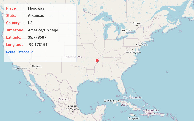
Location Information
-
Full AddressFloodway, AR 72442
-
Coordinates35.7786868, -90.1781505
-
LocationArkansas , US
-
TimezoneAmerica/Chicago
-
Current Local Time6:39:59 AM America/ChicagoMonday, June 23, 2025
-
Page Views0
About Floodway
Floodway is an unincorporated community in Mississippi County, Arkansas, United States. Floodway is located at the junction of Arkansas highways 77 and 158, 7 miles south of Manila.
Nearby Places
Found 10 places within 50 miles

Milligan Ridge
4.5 mi
7.2 km
Milligan Ridge, AR 72442
Get directions

Etowah
5.0 mi
8.0 km
Etowah, AR
Get directions
Vail
6.9 mi
11.1 km
Vail, AR 72447
Get directions
Victoria
7.0 mi
11.3 km
Victoria, AR 72370
Get directions

Manila
7.0 mi
11.3 km
Manila, AR 72442
Get directions

Caraway
8.2 mi
13.2 km
Caraway, AR
Get directions

Keiser
8.5 mi
13.7 km
Keiser, AR
Get directions
Dell
9.3 mi
15.0 km
Dell, AR
Get directions
Hightower
9.4 mi
15.1 km
Hightower, AR 72315
Get directions
Degelow
10.4 mi
16.7 km
Degelow, AR 72419
Get directions
Location Links
Local Weather
Weather Information
Coming soon!
Location Map
Static map view of Floodway, Arkansas
Browse Places by Distance
Places within specific distances from Floodway
Short Distances
Long Distances
Click any distance to see all places within that range from Floodway. Distances shown in miles (1 mile ≈ 1.61 kilometers).