Distance to Florida, Missouri

Calculating Your Route
Just a moment while we process your request...
Location Information
-
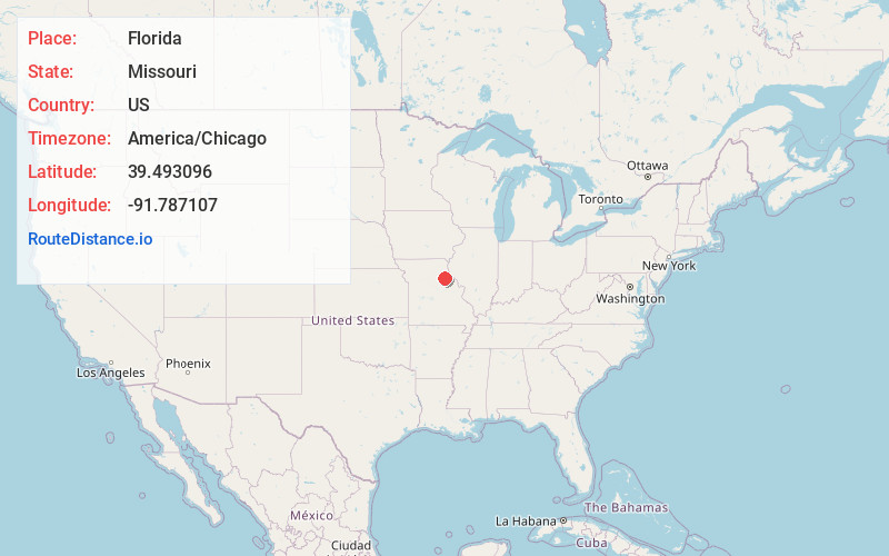
Full AddressFlorida, MO 65283
-
Coordinates39.4930958, -91.7871068
-
LocationFlorida , Missouri , US
-
TimezoneAmerica/Chicago
-
Current Local Time5:01:39 AM America/ChicagoFriday, June 6, 2025
-
Page Views0
About Florida
Florida is a village in Monroe County, Missouri, United States. It is located at the intersection of Missouri Route 107 and State Route U on the shores of Mark Twain Lake. In 1910 the population was 200, per the census data in the 1911 Cram's World Atlas.


Nearby Places
Found 10 places within 50 miles

Stoutsville
5.5 mi
8.9 km
Stoutsville, MO 65283
Get directions

Perry
7.3 mi
11.7 km
Perry, MO 63462
Get directions

Monroe City
11.4 mi
18.3 km
Monroe City, MO 63456
Get directions

Paris
11.5 mi
18.5 km
Paris, MO 65275
Get directions

Hunnewell
12.7 mi
20.4 km
Hunnewell, MO 63443
Get directions

Center
13.8 mi
22.2 km
Center, MO 63436
Get directions
Rensselaer
17.8 mi
28.6 km
Rensselaer, MO 63401
Get directions
Holliday
18.2 mi
29.3 km
Holliday, MO 65258
Get directions
Laddonia
18.9 mi
30.4 km
Laddonia, MO 63352
Get directions
Farber
19.0 mi
30.6 km
Farber, MO 63345
Get directions
Location Links
Local Weather
Weather Information
Coming soon!
Location Map
Static map view of Florida, Missouri
Browse Places by Distance
Places within specific distances from Florida
Short Distances
Long Distances
Click any distance to see all places within that range from Florida. Distances shown in miles (1 mile ≈ 1.61 kilometers).