Distance to Flower Mound, Texas

Calculating Your Route
Just a moment while we process your request...
Location Information
-
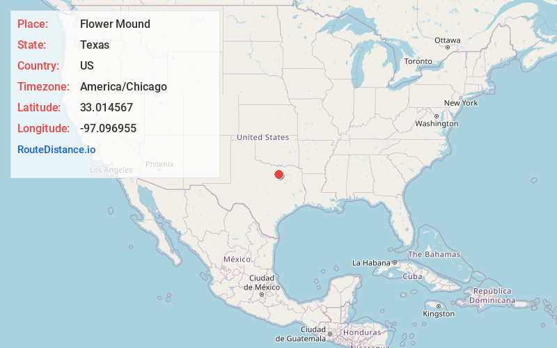
Full AddressFlower Mound, TX
-
Coordinates33.0145673, -97.0969552
-
LocationFlower Mound , Texas , US
-
TimezoneAmerica/Chicago
-
Current Local Time1:04:12 PM America/ChicagoTuesday, May 27, 2025
-
Website
-
Page Views0
About Flower Mound
Flower Mound is an incorporated town located in Denton and Tarrant counties in the U.S. state of Texas. Located northwest of Dallas and northeast of Fort Worth adjacent to Grapevine Lake, the town derives its name from a prominent 12.5-acre mound located in the center of town.


Nearby Places
Found 10 places within 50 miles

Lewisville
6.3 mi
10.1 km
Lewisville, TX
Get directions

Carrollton
12.3 mi
19.8 km
Carrollton, TX
Get directions

Denton
14.1 mi
22.7 km
Denton, TX
Get directions

Irving
16.2 mi
26.1 km
Irving, TX
Get directions

Frisco
17.8 mi
28.6 km
Frisco, TX
Get directions

Arlington
19.3 mi
31.1 km
Arlington, TX
Get directions

Grand Prairie
19.4 mi
31.2 km
Grand Prairie, TX
Get directions

Richardson
21.8 mi
35.1 km
Richardson, TX
Get directions

Fort Worth
22.5 mi
36.2 km
Fort Worth, TX
Get directions

Plano
23.1 mi
37.2 km
Plano, TX
Get directions
Location Links
Local Weather
Weather Information
Coming soon!
Location Map
Static map view of Flower Mound, Texas
Browse Places by Distance
Places within specific distances from Flower Mound
Short Distances
Long Distances
Click any distance to see all places within that range from Flower Mound. Distances shown in miles (1 mile ≈ 1.61 kilometers).