Distance to Flowood, Mississippi

Calculating Your Route
Just a moment while we process your request...
Location Information
-
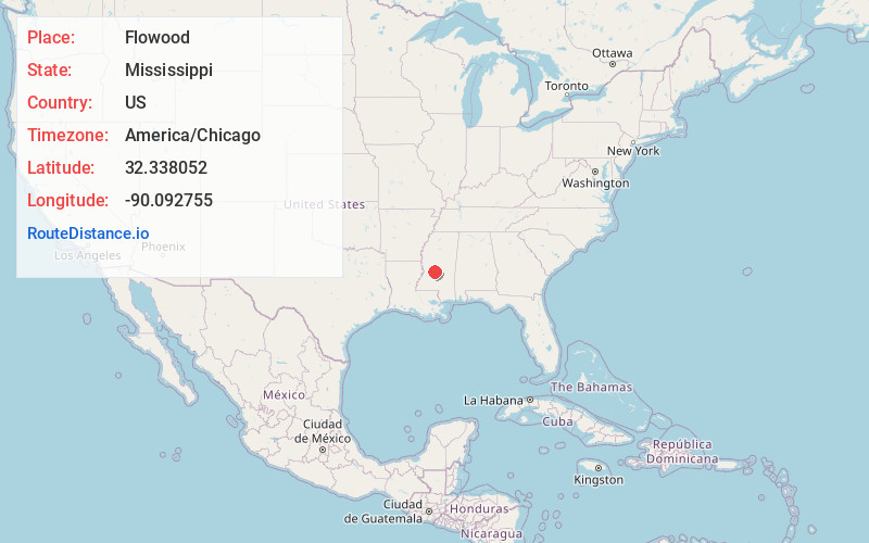
Full AddressFlowood, MS
-
Coordinates32.3380521, -90.0927549
-
LocationFlowood , Mississippi , US
-
TimezoneAmerica/Chicago
-
Current Local Time9:41:31 PM America/ChicagoSunday, May 18, 2025
-
Page Views0
About Flowood
Flowood is a city in Rankin County, Mississippi, United States. The population was 10,202 as of the 2020 census. A suburb of Jackson, Flowood is part of the Jackson Metropolitan Statistical Area, and is located northeast of the state capital.


Nearby Places
Found 10 places within 50 miles

Pearl
5.5 mi
8.9 km
Pearl, MS
Get directions

Jackson
5.8 mi
9.3 km
Jackson, MS
Get directions

Ridgeland
6.7 mi
10.8 km
Ridgeland, MS
Get directions

Brandon
6.7 mi
10.8 km
Brandon, MS
Get directions

Madison
8.7 mi
14.0 km
Madison, MS 39110
Get directions

Clinton
13.4 mi
21.6 km
Clinton, MS
Get directions

Byram
14.1 mi
22.7 km
Byram, MS
Get directions

Canton
19.3 mi
31.1 km
Canton, MS
Get directions

Yazoo City
40.1 mi
64.5 km
Yazoo City, MS 39194
Get directions

Vicksburg
45.8 mi
73.7 km
Vicksburg, MS
Get directions
Location Links
Local Weather
Weather Information
Coming soon!
Location Map
Static map view of Flowood, Mississippi
Browse Places by Distance
Places within specific distances from Flowood
Short Distances
Long Distances
Click any distance to see all places within that range from Flowood. Distances shown in miles (1 mile ≈ 1.61 kilometers).