Distance to Floyd, South Carolina

Calculating Your Route
Just a moment while we process your request...
Location Information
-
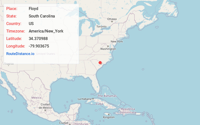
Full AddressFloyd, SC 29540
-
Coordinates34.3709881, -79.9036752
-
LocationFloyd , South Carolina , US
-
TimezoneAmerica/New_York
-
Current Local Time6:40:18 PM America/New_YorkFriday, June 20, 2025
-
Page Views0
Nearby Places
Found 10 places within 50 miles

Dovesville
2.2 mi
3.5 km
Dovesville, SC 29540
Get directions
Earlwood Park
3.0 mi
4.8 km
Earlwood Park, SC 29532
Get directions
Auburn
4.1 mi
6.6 km
Auburn, SC 29540
Get directions
Lunn
4.3 mi
6.9 km
Lunn, SC 29550
Get directions
Mont Clare
5.0 mi
8.0 km
Mont Clare, SC 29540
Get directions

Darlington
5.1 mi
8.2 km
Darlington, SC 29532
Get directions
Gandy
5.6 mi
9.0 km
Gandy, SC 29540
Get directions
Brockington Heights
5.6 mi
9.0 km
Brockington Heights, Darlington, SC 29532
Get directions
Rosa Lees Crossroads
5.9 mi
9.5 km
Rosa Lees Crossroads, SC 29550
Get directions
Earlys Crossroads
6.3 mi
10.1 km
Earlys Crossroads, SC 29532
Get directions
Location Links
Local Weather
Weather Information
Coming soon!
Location Map
Static map view of Floyd, South Carolina
Browse Places by Distance
Places within specific distances from Floyd
Short Distances
Long Distances
Click any distance to see all places within that range from Floyd. Distances shown in miles (1 mile ≈ 1.61 kilometers).