Distance to Floyd, Texas

Calculating Your Route
Just a moment while we process your request...
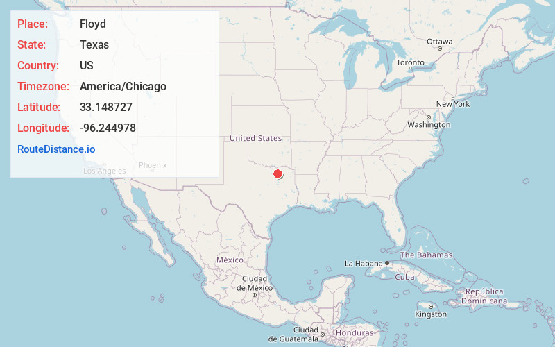
Location Information
-
Full AddressFloyd, TX 75401
-
Coordinates33.148727, -96.244978
-
LocationFloyd , Texas , US
-
TimezoneAmerica/Chicago
-
Current Local Time2:22:08 PM America/ChicagoSaturday, May 31, 2025
-
Page Views0
About Floyd
Floyd is an unincorporated community in Hunt County, Texas, United States. It is located eight miles west of Greenville.
The Bland Independent School District serves area students.
The North American branch of the Nigerian-based Redeemed Christian Church of God is located north of Floyd on County Road 1118.
Nearby Places
Found 10 places within 50 miles

Caddo Mills
5.9 mi
9.5 km
Caddo Mills, TX
Get directions

Farmersville
6.7 mi
10.8 km
Farmersville, TX 75442
Get directions

Josephine
7.1 mi
11.4 km
Josephine, TX
Get directions

Greenville
8.0 mi
12.9 km
Greenville, TX
Get directions

Kingston
8.2 mi
13.2 km
Kingston, TX 75423
Get directions

Tidwell
9.3 mi
15.0 km
Tidwell, TX 75401
Get directions

Celeste
10.5 mi
16.9 km
Celeste, TX 75423
Get directions

Nevada
10.5 mi
16.9 km
Nevada, TX 75173
Get directions
Fayburg
11.7 mi
18.8 km
Fayburg, TX 75424
Get directions
Jacobia
12.1 mi
19.5 km
Jacobia, TX 75401
Get directions
Location Links
Local Weather
Weather Information
Coming soon!
Location Map
Static map view of Floyd, Texas
Browse Places by Distance
Places within specific distances from Floyd
Short Distances
Long Distances
Click any distance to see all places within that range from Floyd. Distances shown in miles (1 mile ≈ 1.61 kilometers).