Distance to Flush, Kansas

Calculating Your Route
Just a moment while we process your request...
Location Information
-
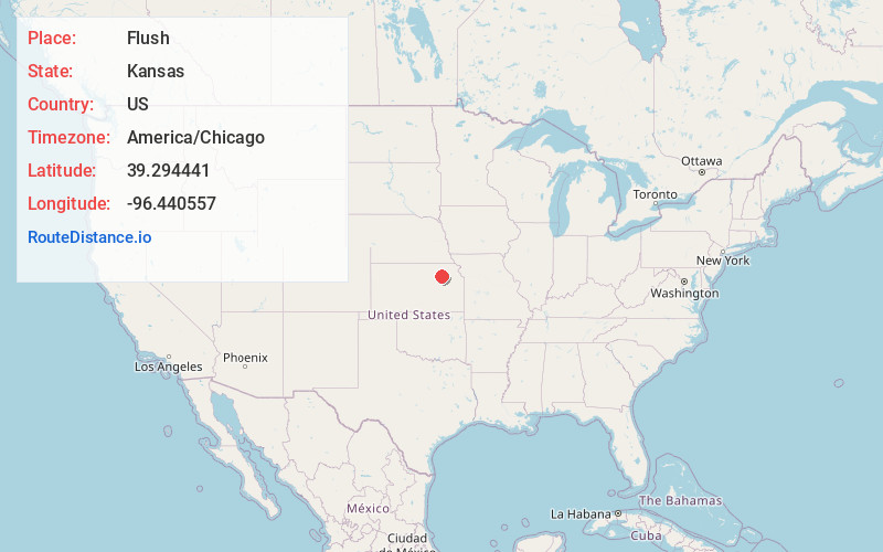
Full AddressFlush, Pottawatomie Township, KS 66535
-
Coordinates39.2944407, -96.4405567
-
LocationPottawatomie Township , Kansas , US
-
TimezoneAmerica/Chicago
-
Current Local Time12:02:56 AM America/ChicagoSunday, June 22, 2025
-
Page Views0
About Flush
Flush is an unincorporated community in Pottawatomie County, Kansas, United States. It is located between St George and Westmoreland.
Nearby Places
Found 10 places within 50 miles

Westmoreland
7.0 mi
11.3 km
Westmoreland, KS 66549
Get directions

St George
7.2 mi
11.6 km
St George, KS 66535
Get directions

Swamp Angel
7.3 mi
11.7 km
Swamp Angel, Blue Township, KS 66502
Get directions
Louisville
7.4 mi
11.9 km
Louisville, KS 66547
Get directions
Zeandale
9.4 mi
15.1 km
Zeandale, KS 66502
Get directions
Bluemont Hill
9.5 mi
15.3 km
Bluemont Hill, Manhattan, KS 66502
Get directions

Wamego
9.7 mi
15.6 km
Wamego, KS 66547
Get directions
Fairmont
10.0 mi
16.1 km
Fairmont, KS 66502
Get directions

Manhattan
10.7 mi
17.2 km
Manhattan, KS
Get directions
Fostoria
10.7 mi
17.2 km
Fostoria, KS 66549
Get directions
Location Links
Local Weather
Weather Information
Coming soon!
Location Map
Static map view of Flush, Kansas
Browse Places by Distance
Places within specific distances from Flush
Short Distances
Long Distances
Click any distance to see all places within that range from Flush. Distances shown in miles (1 mile ≈ 1.61 kilometers).