Distance to Forest Falls, California

Calculating Your Route
Just a moment while we process your request...
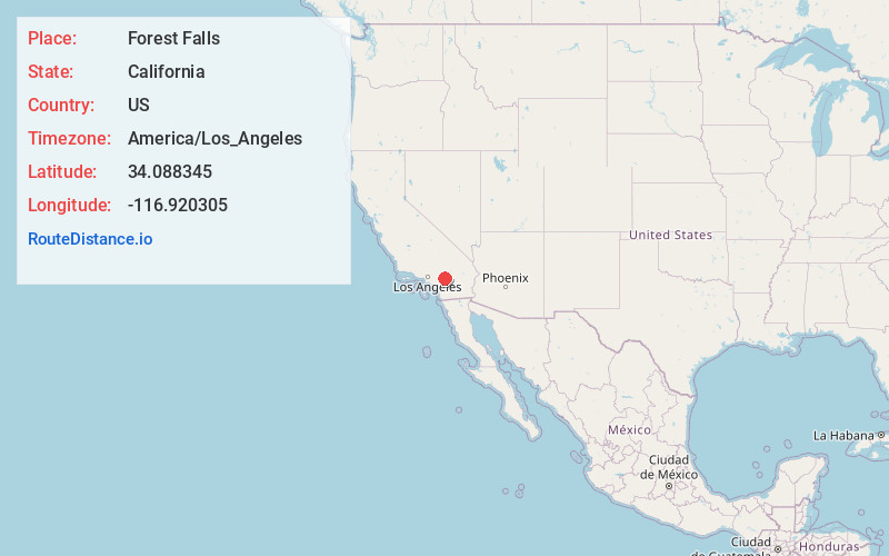
Location Information
-
Full AddressForest Falls, CA 92339
-
Coordinates34.0883449, -116.9203046
-
LocationForest Falls , California , US
-
TimezoneAmerica/Los_Angeles
-
Current Local Time3:41:54 AM America/Los_AngelesThursday, June 19, 2025
-
Page Views0
About Forest Falls
Forest Falls is an unincorporated community in San Bernardino County, California, 75 miles due east of Los Angeles. The community has a population of 1,102 and contains 712 houses.


Nearby Places
Found 10 places within 50 miles

Oak Glen
3.4 mi
5.5 km
Oak Glen, CA 92399
Get directions

Glen Martin Creek
4.5 mi
7.2 km
Glen Martin Creek, California 92359
Get directions

Mountain Home Village
4.6 mi
7.4 km
Mountain Home Village, CA 92359
Get directions

Angelus Oaks
5.3 mi
8.5 km
Angelus Oaks, CA 92305
Get directions
Pinezanita
5.6 mi
9.0 km
Pinezanita, CA 92305
Get directions

Seven Oaks
6.8 mi
10.9 km
Seven Oaks, CA 92305
Get directions

Yucaipa
8.0 mi
12.9 km
Yucaipa, CA
Get directions

Cherry Valley
8.6 mi
13.8 km
Cherry Valley, CA
Get directions

Hot Springs
9.3 mi
15.0 km
Hot Springs, California
Get directions

Calimesa
10.0 mi
16.1 km
Calimesa, CA
Get directions
Location Links
Local Weather
Weather Information
Coming soon!
Location Map
Static map view of Forest Falls, California
Browse Places by Distance
Places within specific distances from Forest Falls
Short Distances
Long Distances
Click any distance to see all places within that range from Forest Falls. Distances shown in miles (1 mile ≈ 1.61 kilometers).