Distance to Forest Green, Missouri

Calculating Your Route
Just a moment while we process your request...
Location Information
-
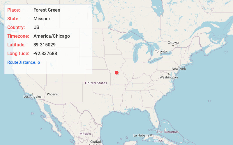
Full AddressForest Green, MO 65281
-
Coordinates39.315029, -92.8376875
-
LocationForest Green , Missouri , US
-
TimezoneAmerica/Chicago
-
Current Local Time4:53:56 PM America/ChicagoMonday, June 16, 2025
-
Page Views0
About Forest Green
Forest Green is an unincorporated community in southeastern Chariton County, Missouri, United States. It is located approximately eight miles south of Salisbury on Route 5.
Forest Green was platted in 1873 by John Green Forest, and most likely was named for the proprietor.
Nearby Places
Found 10 places within 50 miles

Aholt
5.0 mi
8.0 km
Aholt, MO 65330
Get directions
Cazzell
5.6 mi
9.0 km
Cazzell, Chariton Township, MO 65281
Get directions

Glasgow
6.1 mi
9.8 km
Glasgow, MO 65254
Get directions
Steinmetz
7.0 mi
11.3 km
Steinmetz, Prairie Township, MO 65254
Get directions
Cambridge
7.1 mi
11.4 km
Cambridge, MO 65330
Get directions
West Glasgow
7.1 mi
11.4 km
West Glasgow, MO 65330
Get directions
Salisbury
7.8 mi
12.6 km
Salisbury, MO 65281
Get directions
Armstrong
7.9 mi
12.7 km
Armstrong, MO 65230
Get directions

Keytesville
9.8 mi
15.8 km
Keytesville, MO 65261
Get directions
Dalton
9.9 mi
15.9 km
Dalton, MO 65246
Get directions
Location Links
Local Weather
Weather Information
Coming soon!
Location Map
Static map view of Forest Green, Missouri
Browse Places by Distance
Places within specific distances from Forest Green
Short Distances
Long Distances
Click any distance to see all places within that range from Forest Green. Distances shown in miles (1 mile ≈ 1.61 kilometers).