Distance to Forest Grove, Montana

Calculating Your Route
Just a moment while we process your request...
Location Information
-
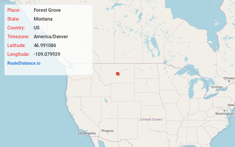
Full AddressForest Grove, MT
-
Coordinates46.9910863, -109.0799292
-
LocationForest Grove , Montana , US
-
TimezoneAmerica/Denver
-
Current Local Time8:06:58 AM America/DenverThursday, May 29, 2025
-
Page Views0
About Forest Grove
Forest Grove is an unincorporated community in Fergus County, Montana, United States. Forest Grove has a post office with the ZIP code 59441.
The town began in 1885 when sheep and cattle ranchers arrived in the area.
Nearby Places
Found 10 places within 50 miles

Piper
5.7 mi
9.2 km
Piper, MT 59457
Get directions
Becket
7.4 mi
11.9 km
Becket, MT 59457
Get directions
Heath
8.8 mi
14.2 km
Heath, MT 59457
Get directions
Giltedge
11.0 mi
17.7 km
Giltedge, MT 59457
Get directions

Grass Range
13.2 mi
21.2 km
Grass Range, MT 59032
Get directions
Maiden
14.7 mi
23.7 km
Maiden, MT 59457
Get directions

New Year
15.9 mi
25.6 km
New Year, MT 59457
Get directions

Lewistown
17.1 mi
27.5 km
Lewistown, MT 59457
Get directions
Lewistown Heights
18.5 mi
29.8 km
Lewistown Heights, MT 59457
Get directions
Brooks
21.8 mi
35.1 km
Brooks, MT
Get directions
Location Links
Local Weather
Weather Information
Coming soon!
Location Map
Static map view of Forest Grove, Montana
Browse Places by Distance
Places within specific distances from Forest Grove
Short Distances
Long Distances
Click any distance to see all places within that range from Forest Grove. Distances shown in miles (1 mile ≈ 1.61 kilometers).