Distance to Forest Hill, West Virginia

Calculating Your Route
Just a moment while we process your request...
Location Information
-
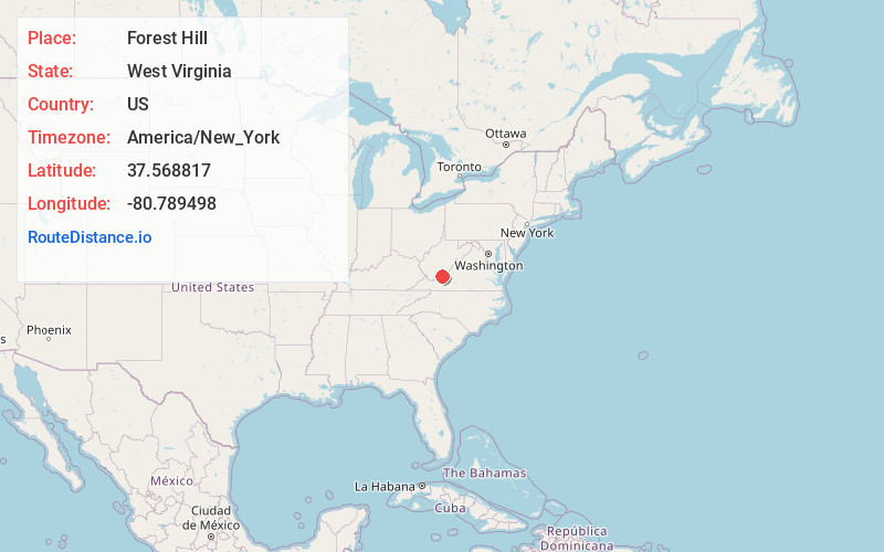
Full AddressForest Hill, WV 24935
-
Coordinates37.5688174, -80.7894981
-
LocationForest Hill , West Virginia , US
-
TimezoneAmerica/New_York
-
Current Local Time5:34:32 PM America/New_YorkSaturday, June 21, 2025
-
Page Views0
About Forest Hill
Forest Hill is an unincorporated community in Summers County, West Virginia, United States. It lies along West Virginia Route 12 to the southeast of the city of Hinton, the county seat of Summers County. Its elevation is 1,926 feet. It has a post office with the ZIP code 24935.
Nearby Places
Found 10 places within 50 miles

Indian Mills
3.2 mi
5.1 km
Indian Mills, WV 24935
Get directions
Bargers Springs
3.6 mi
5.8 km
Bargers Springs, WV 25951
Get directions
Ballengee
4.4 mi
7.1 km
Ballengee, WV 25951
Get directions
Crumps Bottom
5.1 mi
8.2 km
Crumps Bottom, West Virginia 24740
Get directions
Talcott
6.0 mi
9.7 km
Talcott, WV 25951
Get directions

Greenville
6.1 mi
9.8 km
Greenville, WV 24945
Get directions
Wiggins
6.8 mi
10.9 km
Wiggins, WV 25951
Get directions
Browning
6.9 mi
11.1 km
Browning, WV 25951
Get directions

Bozoo
7.5 mi
12.1 km
Bozoo, WV 24739
Get directions
Neponset
7.6 mi
12.2 km
Neponset, WV 24739
Get directions
Location Links
Local Weather
Weather Information
Coming soon!
Location Map
Static map view of Forest Hill, West Virginia
Browse Places by Distance
Places within specific distances from Forest Hill
Short Distances
Long Distances
Click any distance to see all places within that range from Forest Hill. Distances shown in miles (1 mile ≈ 1.61 kilometers).