Distance to Forestdale, Rhode Island

Calculating Your Route
Just a moment while we process your request...
Location Information
-
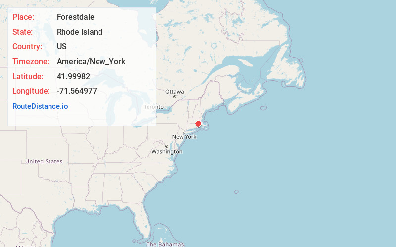
Full AddressForestdale, North Smithfield, RI
-
Coordinates41.9998198, -71.564977
-
NeighborhoodForestdale
-
LocationNorth Smithfield , Rhode Island , US
-
TimezoneAmerica/New_York
-
Current Local Time2:37:11 AM America/New_YorkThursday, July 3, 2025
-
Page Views0
About Forestdale
Forestdale is a village and historic district in North Smithfield, Providence County, Rhode Island, United States, one-half mile from Slatersville. The historic district runs east and west along Main Street and north on Maple Avenue.
Nearby Places
Found 10 places within 50 miles

North Smithfield
0.8 mi
1.3 km
North Smithfield, RI
Get directions

Waterford
1.6 mi
2.6 km
Waterford, North Smithfield, RI 02896
Get directions
Millville
2.1 mi
3.4 km
Millville, MA 01529
Get directions

Woonsocket
2.6 mi
4.2 km
Woonsocket, RI 02895
Get directions

Blackstone
3.2 mi
5.1 km
Blackstone, MA 01504
Get directions

Smithfield
5.4 mi
8.7 km
Smithfield, RI
Get directions
Rakeville
5.4 mi
8.7 km
Rakeville, Bellingham, MA 02019
Get directions
Wheelockville
6.1 mi
9.8 km
Wheelockville, Uxbridge, MA 01569
Get directions

Uxbridge
6.3 mi
10.1 km
Uxbridge, MA
Get directions

Burrillville
6.6 mi
10.6 km
Burrillville, RI
Get directions
Location Links
Local Weather
Weather Information
Coming soon!
Location Map
Static map view of Forestdale, Rhode Island
Browse Places by Distance
Places within specific distances from Forestdale
Short Distances
Long Distances
Click any distance to see all places within that range from Forestdale. Distances shown in miles (1 mile ≈ 1.61 kilometers).