Distance to Forks of Ivy, North Carolina

Calculating Your Route
Just a moment while we process your request...
Location Information
-
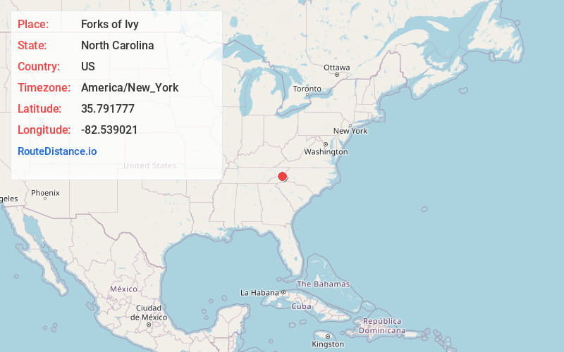
Full AddressForks of Ivy, NC 28787
-
Coordinates35.7917765, -82.5390208
-
LocationNorth Carolina , US
-
TimezoneAmerica/New_York
-
Current Local Time2:39:02 PM America/New_YorkTuesday, July 1, 2025
-
Page Views0
About Forks of Ivy
Forks of Ivy is an unincorporated community primarily located in Buncombe County, North Carolina, United States. A portion of Forks of Ivy extends into Madison County as it is situated on the county line on Ivy Creek. Forks of Ivy is named for the fact that it is near the junction of Ivy and Little Ivy Creeks.

Nearby Places
Found 10 places within 50 miles

Ivy
2.1 mi
3.4 km
Ivy, NC 28754
Get directions

Mars Hill
2.5 mi
4.0 km
Mars Hill, NC 28754
Get directions
Stocksville
3.1 mi
5.0 km
Stocksville, NC 28787
Get directions

Barnardsville
4.8 mi
7.7 km
Barnardsville, NC 28709
Get directions
Dula Springs
5.5 mi
8.9 km
Dula Springs, NC 28787
Get directions
Buckner
5.9 mi
9.5 km
Buckner, NC 28754
Get directions
Terry Fork
5.9 mi
9.5 km
Terry Fork, NC 28754
Get directions
Rockview
6.2 mi
10.0 km
Rockview, NC 28709
Get directions

Weaverville
6.7 mi
10.8 km
Weaverville, NC
Get directions
Rollins
7.0 mi
11.3 km
Rollins, Marshall, NC 28753
Get directions
Location Links
Local Weather
Weather Information
Coming soon!
Location Map
Static map view of Forks of Ivy, North Carolina
Browse Places by Distance
Places within specific distances from Forks of Ivy
Short Distances
Long Distances
Click any distance to see all places within that range from Forks of Ivy. Distances shown in miles (1 mile ≈ 1.61 kilometers).