Distance to Forreston, Texas

Calculating Your Route
Just a moment while we process your request...
Location Information
-
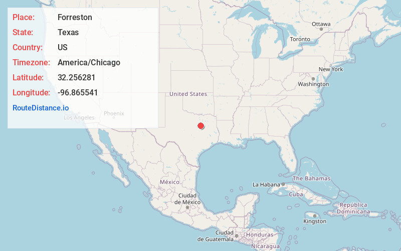
Full AddressForreston, TX
-
Coordinates32.2562811, -96.8655406
-
LocationForreston , Texas , US
-
TimezoneAmerica/Chicago
-
Current Local Time5:51:08 AM America/ChicagoSaturday, June 21, 2025
-
Page Views0
About Forreston
Forreston is an unincorporated community in Ellis County, Texas, United States. It lies on U.S. Route 77, 8 miles south of the county seat of Waxahachie. Its population was estimated to be 238 in 2008, but it is not listed in the 2010 census.


Nearby Places
Found 10 places within 50 miles

Italy
5.1 mi
8.2 km
Italy, TX 76651
Get directions

Waxahachie
9.0 mi
14.5 km
Waxahachie, TX
Get directions

Maypearl
9.5 mi
15.3 km
Maypearl, TX
Get directions

Bardwell
9.9 mi
15.9 km
Bardwell, TX
Get directions

Milford
10.2 mi
16.4 km
Milford, TX 76670
Get directions

Boyce
11.3 mi
18.2 km
Boyce, TX 75165
Get directions

Frost
12.6 mi
20.3 km
Frost, TX 76641
Get directions

Mertens
13.8 mi
22.2 km
Mertens, TX 76666
Get directions
Blooming Grove
14.3 mi
23.0 km
Blooming Grove, TX 76626
Get directions
Garrett
14.4 mi
23.2 km
Garrett, TX
Get directions
Location Links
Local Weather
Weather Information
Coming soon!
Location Map
Static map view of Forreston, Texas
Browse Places by Distance
Places within specific distances from Forreston
Short Distances
Long Distances
Click any distance to see all places within that range from Forreston. Distances shown in miles (1 mile ≈ 1.61 kilometers).