Distance to Fort Basinger, Florida

Calculating Your Route
Just a moment while we process your request...
Location Information
-
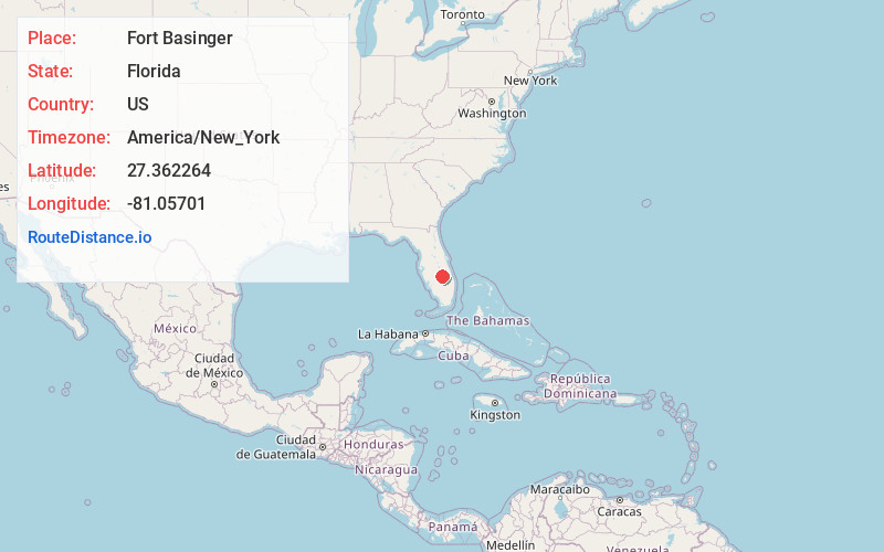
Full AddressFort Basinger, FL 33857
-
Coordinates27.362264, -81.0570101
-
LocationFlorida , US
-
TimezoneAmerica/New_York
-
Current Local Time4:38:39 PM America/New_YorkThursday, June 19, 2025
-
Page Views0
About Fort Basinger
Fort Basinger is an unincorporated town in Highlands County, Florida that arose around the Second and Third Seminole Wars fortification: Fort Basinger. The fort was situated 10 miles north-west of Okeechobee. Just north of Fort Basinger is Lorida, and just above that is Sebring.


Nearby Places
Found 10 places within 50 miles

Cornwell
2.7 mi
4.3 km
Cornwell, FL 33857
Get directions
Plains
8.5 mi
13.7 km
Plains, FL 33857
Get directions
Mildred
9.4 mi
15.1 km
Mildred, FL 34972
Get directions
Brighton
9.7 mi
15.6 km
Brighton, FL 33852
Get directions
Marland
11.4 mi
18.3 km
Marland, FL 33857
Get directions

Okeechobee
16.2 mi
26.1 km
Okeechobee, FL
Get directions
Fort Kissimmee
16.7 mi
26.9 km
Fort Kissimmee, FL 34972
Get directions
Cypress Quarters
16.8 mi
27.0 km
Cypress Quarters, FL
Get directions
Parker Island
16.9 mi
27.2 km
Parker Island, FL 33852
Get directions

Buckhead Ridge
18.8 mi
30.3 km
Buckhead Ridge, FL 34974
Get directions
Location Links
Local Weather
Weather Information
Coming soon!
Location Map
Static map view of Fort Basinger, Florida
Browse Places by Distance
Places within specific distances from Fort Basinger
Short Distances
Long Distances
Click any distance to see all places within that range from Fort Basinger. Distances shown in miles (1 mile ≈ 1.61 kilometers).