Distance to and from Fort Benton, Montana
Fort Benton, MT 59442
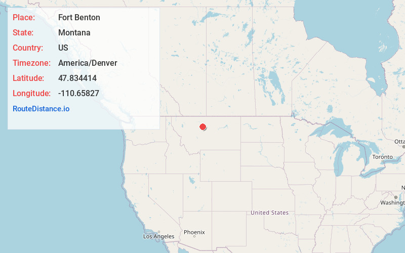
Fort Benton
Montana
US
America/Denver
Location Information
-
Full AddressFort Benton, MT 59442
-
Coordinates47.8344143, -110.6582699
-
LocationFort Benton , Montana , US
-
TimezoneAmerica/Denver
-
Current Local Time12:57:47 AM America/DenverSunday, May 4, 2025
-
Website
-
Page Views0
Directions to Nearest Cities
About Fort Benton
Fort Benton is a city in and the county seat of Chouteau County, Montana, United States. Established in 1846, Fort Benton is the oldest continuously occupied settlement in Montana. Fort Benton was the most upstream navigable port on the Mississippi River System, and is considered "the world’s innermost port".


Location Links
Local Weather
Weather Information
Coming soon!
Location Map
Static map view of Fort Benton, Montana
Browse Places by Distance
Places within specific distances from Fort Benton
Short Distances
Long Distances
Click any distance to see all places within that range from Fort Benton. Distances shown in miles (1 mile ≈ 1.61 kilometers).