Distance to Fort Calhoun, Nebraska

Calculating Your Route
Just a moment while we process your request...
Location Information
-
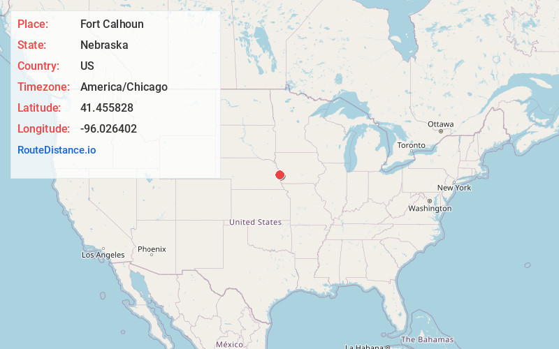
Full AddressFort Calhoun, NE 68023
-
Coordinates41.4558282, -96.0264024
-
LocationFort Calhoun , Nebraska , US
-
TimezoneAmerica/Chicago
-
Current Local Time2:50:25 PM America/ChicagoThursday, June 19, 2025
-
Page Views0
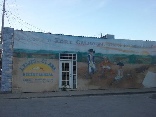
About Fort Calhoun
Fort Calhoun is a city in Washington County, Nebraska, United States. The population was 1,108 at the 2020 census. The city includes Fort Atkinson, the first fort built west of the Missouri River.


Nearby Places
Found 10 places within 50 miles

Blair
8.3 mi
13.4 km
Blair, NE 68008
Get directions

Bennington
9.3 mi
15.0 km
Bennington, NE 68007
Get directions

Missouri Valley
10.0 mi
16.1 km
Missouri Valley, IA 51555
Get directions

Carter Lake
12.7 mi
20.4 km
Carter Lake, IA
Get directions

Omaha
14.6 mi
23.5 km
Omaha, NE
Get directions

Council Bluffs
15.9 mi
25.6 km
Council Bluffs, IA
Get directions

Arlington
17.2 mi
27.7 km
Arlington, NE 68002
Get directions

Logan
17.8 mi
28.6 km
Logan, IA 51546
Get directions

La Vista
19.1 mi
30.7 km
La Vista, NE
Get directions

Valley
19.3 mi
31.1 km
Valley, NE
Get directions
Location Links
Local Weather
Weather Information
Coming soon!
Location Map
Static map view of Fort Calhoun, Nebraska
Browse Places by Distance
Places within specific distances from Fort Calhoun
Short Distances
Long Distances
Click any distance to see all places within that range from Fort Calhoun. Distances shown in miles (1 mile ≈ 1.61 kilometers).