Distance to Fort Caroline, Florida

Calculating Your Route
Just a moment while we process your request...
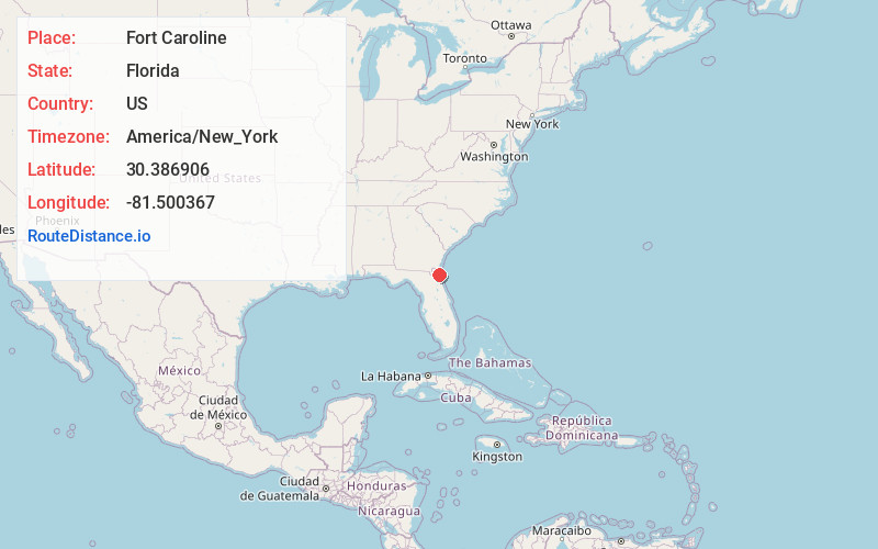
Location Information
-
Full AddressFort Caroline, Jacksonville, FL 32225
-
Coordinates30.3869064, -81.5003672
-
NeighborhoodSt. Johns Bluff
-
LocationJacksonville , Florida , US
-
TimezoneAmerica/New_York
-
Current Local Time6:11:37 AM America/New_YorkSaturday, June 7, 2025
-
Page Views0
About Fort Caroline
Fort Caroline was an attempted French colonial settlement in Florida, located on the banks of the St. Johns River in present-day Duval County.


Nearby Places
Found 10 places within 50 miles

Atlantic Beach
7.1 mi
11.4 km
Atlantic Beach, FL
Get directions

Neptune Beach
8.1 mi
13.0 km
Neptune Beach, FL
Get directions

Jacksonville
10.3 mi
16.6 km
Jacksonville, FL
Get directions

Amelia City
14.3 mi
23.0 km
Amelia City, FL 32034
Get directions

Sawgrass
15.5 mi
24.9 km
Sawgrass, FL 32082
Get directions
Hedges
15.8 mi
25.4 km
Hedges, Yulee, FL 32097
Get directions

Palm Valley
16.0 mi
25.7 km
Palm Valley, FL 32082
Get directions
Yulee Heights
16.3 mi
26.2 km
Yulee Heights, Yulee, FL 32097
Get directions

Yulee
18.1 mi
29.1 km
Yulee, FL
Get directions
Hero
18.4 mi
29.6 km
Hero, FL 32097
Get directions
Location Links
Local Weather
Weather Information
Coming soon!
Location Map
Static map view of Fort Caroline, Florida
Browse Places by Distance
Places within specific distances from Fort Caroline
Short Distances
Long Distances
Click any distance to see all places within that range from Fort Caroline. Distances shown in miles (1 mile ≈ 1.61 kilometers).