Distance to Fort Casey, Washington

Calculating Your Route
Just a moment while we process your request...
Location Information
-
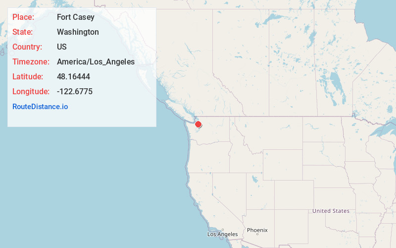
Full AddressFort Casey, WA 98239
-
Coordinates48.16444, -122.6775001
-
LocationFort Casey , Washington , US
-
TimezoneAmerica/Los_Angeles
-
Current Local Time4:58:13 PM America/Los_AngelesSaturday, May 31, 2025
-
Page Views0
About Fort Casey
Fort Casey was a 19th-century defensive fortification built on Whidbey Island, Island County, Washington, to deter invasion from the sea. It is preserved as Fort Casey Historical State Park, a Washington state park and historic district within the Ebey's Landing National Historical Reserve.


Nearby Places
Found 10 places within 50 miles

Keystone
2.2 mi
3.5 km
Keystone, WA 98239
Get directions

Coupeville
3.8 mi
6.1 km
Coupeville, WA 98239
Get directions

Rodena Beach
4.3 mi
6.9 km
Rodena Beach, WA 98239
Get directions

Port Townsend
5.0 mi
8.0 km
Port Townsend, WA
Get directions
San de Fuca
5.4 mi
8.7 km
San de Fuca, WA 98277
Get directions

Marrowstone Island
6.1 mi
9.8 km
Marrowstone Island, Marrowstone, WA 98358
Get directions

Greenbank
6.6 mi
10.6 km
Greenbank, WA 98253
Get directions

Camano
6.9 mi
11.1 km
Camano, WA
Get directions

Marrowstone
7.7 mi
12.4 km
Marrowstone, WA 98358
Get directions
Glen Cove
7.8 mi
12.6 km
Glen Cove, WA 98368
Get directions
Location Links
Local Weather
Weather Information
Coming soon!
Location Map
Static map view of Fort Casey, Washington
Browse Places by Distance
Places within specific distances from Fort Casey
Short Distances
Long Distances
Click any distance to see all places within that range from Fort Casey. Distances shown in miles (1 mile ≈ 1.61 kilometers).