Distance to Fort Covington, New York

Calculating Your Route
Just a moment while we process your request...
Location Information
-
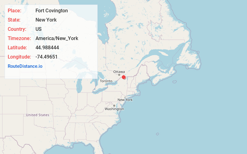
Full AddressFort Covington, NY
-
Coordinates44.988444, -74.49651
-
LocationFort Covington , New York , US
-
TimezoneAmerica/New_York
-
Current Local Time10:15:30 AM America/New_YorkSaturday, May 24, 2025
-
Page Views1
About Fort Covington
Fort Covington is a town in Franklin County, New York, United States. The population was 1,531 at the 2020 census. The name is derived from a War of 1812 fortification. The original name of the town was French Mills.
The town is on the county's northern border, which is also the Canada–United States border.


Nearby Places
Found 10 places within 50 miles

Dickinson Center
18.9 mi
30.4 km
Dickinson Center, NY 12930
Get directions

Massena
19.8 mi
31.9 km
Massena, NY 13662
Get directions

Chateaugay
20.8 mi
33.5 km
Chateaugay, NY
Get directions
Stockholm Center
22.8 mi
36.7 km
Stockholm Center, NY 13697
Get directions

Louisville
26.2 mi
42.2 km
Louisville, NY 13662
Get directions
Norfolk
27.5 mi
44.3 km
Norfolk, NY
Get directions
Parishville
29.3 mi
47.2 km
Parishville, NY
Get directions

Potsdam
32.4 mi
52.1 km
Potsdam, NY 13676
Get directions
Ellenburg
32.9 mi
52.9 km
Ellenburg, NY 12934
Get directions
Waddington
35.7 mi
57.5 km
Waddington, NY 13694
Get directions
Location Links
Local Weather
Weather Information
Coming soon!
Location Map
Static map view of Fort Covington, New York
Browse Places by Distance
Places within specific distances from Fort Covington
Short Distances
Long Distances
Click any distance to see all places within that range from Fort Covington. Distances shown in miles (1 mile ≈ 1.61 kilometers).