Distance to Fort Drum, Florida

Calculating Your Route
Just a moment while we process your request...
Location Information
-
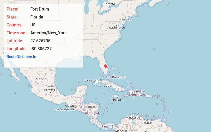
Full AddressFort Drum, FL 34972
-
Coordinates27.5267045, -80.8067268
-
LocationFlorida , US
-
TimezoneAmerica/New_York
-
Current Local Time7:39:44 PM America/New_YorkThursday, June 19, 2025
-
Page Views0
About Fort Drum
Fort Drum was a town in Okeechobee County, Florida, United States, located on US 441, between Yeehaw Junction and Okeechobee. A service plaza on Florida's Turnpike is named after the town.


Nearby Places
Found 10 places within 50 miles

Yeehaw Junction
13.4 mi
21.6 km
Yeehaw Junction, FL 34972
Get directions

Mildred
18.5 mi
29.8 km
Mildred, FL 34972
Get directions
Cypress Quarters
19.0 mi
30.6 km
Cypress Quarters, FL
Get directions

Okeechobee
19.6 mi
31.5 km
Okeechobee, FL
Get directions
Cornwell
20.5 mi
33.0 km
Cornwell, FL 33857
Get directions

Fellsmere
20.9 mi
33.6 km
Fellsmere, FL
Get directions

Taylor Creek
21.4 mi
34.4 km
Taylor Creek, FL 34974
Get directions

West Vero Corridor
21.5 mi
34.6 km
West Vero Corridor, FL 32966
Get directions
Fort Kissimmee
22.0 mi
35.4 km
Fort Kissimmee, FL 34972
Get directions
Sherman
22.1 mi
35.6 km
Sherman, FL 34974
Get directions
Location Links
Local Weather
Weather Information
Coming soon!
Location Map
Static map view of Fort Drum, Florida
Browse Places by Distance
Places within specific distances from Fort Drum
Short Distances
Long Distances
Click any distance to see all places within that range from Fort Drum. Distances shown in miles (1 mile ≈ 1.61 kilometers).