Distance to Fort Duchesne, Utah

Calculating Your Route
Just a moment while we process your request...
Location Information
-
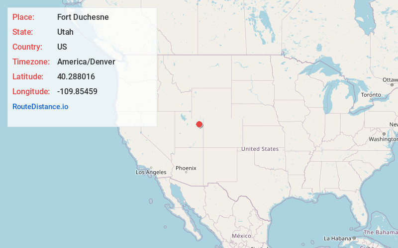
Full AddressFort Duchesne, UT 84026
-
Coordinates40.2880155, -109.8545901
-
LocationFort Duchesne , Utah , US
-
TimezoneAmerica/Denver
-
Current Local Time9:23:55 AM America/DenverFriday, May 30, 2025
-
Page Views0
About Fort Duchesne
Fort Duchesne is a census-designated place in Uintah County, Utah, United States. The population was 714 at the 2010 census, an increase from the 2000 figure of 621.
Fort Duchesne was originally a fort, established by the United States Army in 1886 and closed in 1912.


Nearby Places
Found 9 places within 50 miles

Ballard
5.3 mi
8.5 km
Ballard, UT
Get directions

Roosevelt
7.1 mi
11.4 km
Roosevelt, UT 84066
Get directions

Myton
12.7 mi
20.4 km
Myton, UT 84052
Get directions

Maeser
19.2 mi
30.9 km
Maeser, UT 84078
Get directions

Vernal
20.7 mi
33.3 km
Vernal, UT 84078
Get directions

Naples
21.0 mi
33.8 km
Naples, UT 84078
Get directions

Duchesne
30.2 mi
48.6 km
Duchesne, UT 84021
Get directions

Dinosaur
44.8 mi
72.1 km
Dinosaur, CO 81610
Get directions
East Basin Creek
46.4 mi
74.7 km
East Basin Creek, Utah
Get directions
Location Links
Local Weather
Weather Information
Coming soon!
Location Map
Static map view of Fort Duchesne, Utah
Browse Places by Distance
Places within specific distances from Fort Duchesne
Short Distances
Long Distances
Click any distance to see all places within that range from Fort Duchesne. Distances shown in miles (1 mile ≈ 1.61 kilometers).