Distance to Fort Erie, Ontario

Calculating Your Route
Just a moment while we process your request...
Location Information
-
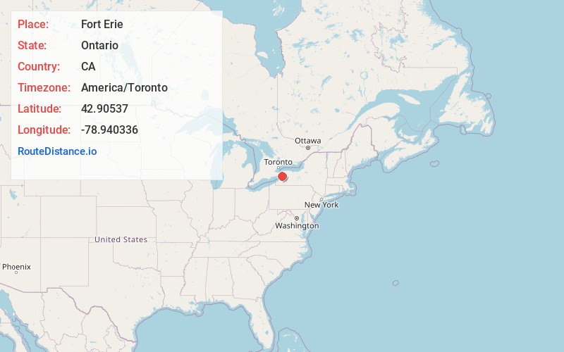
Full AddressFort Erie, ON, Canada
-
Coordinates42.90537, -78.940336
-
LocationFort Erie , Ontario , CA
-
TimezoneAmerica/Toronto
-
Current Local Time2:58:15 AM America/TorontoSunday, June 1, 2025
-
Website
-
Page Views0
About Fort Erie
Fort Erie is a town in the Niagara Region of Ontario, Canada. The town is located at the south eastern corner of the region, on the Niagara River, directly across the Canada–United States border from Buffalo, New York, and is the site of Old Fort Erie which played a prominent role in the War of 1812.


Nearby Places
Found 10 places within 50 miles

Buffalo
3.4 mi
5.5 km
Buffalo, NY
Get directions

Kenmore
5.5 mi
8.9 km
Kenmore, NY 14217
Get directions

Grandyle Village
6.3 mi
10.1 km
Grandyle Village, NY
Get directions
Eggertsville
8.0 mi
12.9 km
Eggertsville, NY 14226
Get directions

Lackawanna
8.1 mi
13.0 km
Lackawanna, NY
Get directions

Grand Island
8.1 mi
13.0 km
Grand Island, NY
Get directions
Grover Cleveland Terrace
8.2 mi
13.2 km
Grover Cleveland Terrace, Eggertsville, NY 14226
Get directions

Tonawanda
8.5 mi
13.7 km
Tonawanda, NY 14150
Get directions
North Bailey
9.1 mi
14.6 km
North Bailey, Amherst, NY 14226
Get directions

Cheektowaga
9.4 mi
15.1 km
Cheektowaga, NY
Get directions
Location Links
Local Weather
Weather Information
Coming soon!
Location Map
Static map view of Fort Erie, Ontario
Browse Places by Distance
Places within specific distances from Fort Erie
Short Distances
Long Distances
Click any distance to see all places within that range from Fort Erie. Distances shown in miles (1 mile ≈ 1.61 kilometers).