Distance to Fort McKavett, Texas

Calculating Your Route
Just a moment while we process your request...
Location Information
-
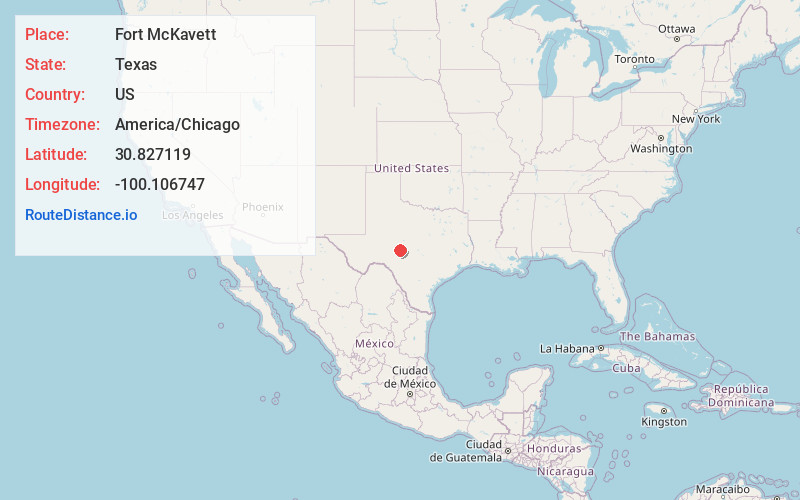
Full AddressFort McKavett, TX 76841
-
Coordinates30.8271192, -100.1067471
-
LocationFort McKavett , Texas , US
-
TimezoneAmerica/Chicago
-
Current Local Time5:23:33 AM America/ChicagoMonday, June 30, 2025
-
Page Views1
About Fort McKavett
Fort McKavett is a ghost town in Menard County, Texas, United States. It lies at the intersections of Farm to Market Road 864 and Farm to Market Road 1674, 20 miles southwest of the county seat, Menard. Its elevation is 2,169 feet. It has a post office with the ZIP code 76841.


Nearby Places
Found 10 places within 50 miles

Menard
20.0 mi
32.2 km
Menard, TX 76859
Get directions

Roosevelt
23.4 mi
37.7 km
Roosevelt, TX 76849
Get directions

Eldorado
29.4 mi
47.3 km
Eldorado, TX 76936
Get directions

Junction
30.7 mi
49.4 km
Junction, TX 76849
Get directions

Eden
31.0 mi
49.9 km
Eden, TX 76837
Get directions

London
33.1 mi
53.3 km
London, TX 76854
Get directions

Saline
33.6 mi
54.1 km
Saline, TX 76854
Get directions

Christoval
34.3 mi
55.2 km
Christoval, TX 76935
Get directions
Hext
34.4 mi
55.4 km
Hext, TX
Get directions
Yates
34.7 mi
55.8 km
Yates, TX 76854
Get directions
Location Links
Local Weather
Weather Information
Coming soon!
Location Map
Static map view of Fort McKavett, Texas
Browse Places by Distance
Places within specific distances from Fort McKavett
Short Distances
Long Distances
Click any distance to see all places within that range from Fort McKavett. Distances shown in miles (1 mile ≈ 1.61 kilometers).