Distance to Fort Mohave, Arizona

Calculating Your Route
Just a moment while we process your request...
Location Information
-
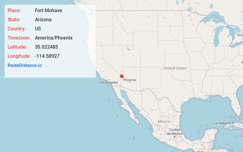
Full AddressFort Mohave, AZ
-
Coordinates35.0224848, -114.5892703
-
LocationFort Mohave , Arizona , US
-
TimezoneAmerica/Phoenix
-
Current Local Time5:14:21 AM America/PhoenixThursday, July 3, 2025
-
Page Views0
About Fort Mohave
Fort Mohave is an unincorporated community and census-designated place in Mohave County, Arizona, United States. It is named for a nearby fort that was used during the Mohave War. As of the 2020 census, the population of Fort Mohave was 16,190, up from 14,364 in 2010 and 8,919 in 2000. It is a suburb of Bullhead City.


Nearby Places


Location Links
Local Weather
Weather Information
Coming soon!
Location Map
Static map view of Fort Mohave, Arizona
Browse Places by Distance
Places within specific distances from Fort Mohave
Short Distances
Long Distances
Click any distance to see all places within that range from Fort Mohave. Distances shown in miles (1 mile ≈ 1.61 kilometers).