Distance to Fort Payne, Alabama

Calculating Your Route
Just a moment while we process your request...
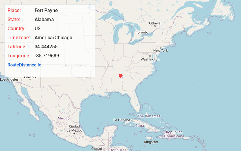
Location Information
-
Full AddressFort Payne, AL
-
Coordinates34.4442547, -85.7196893
-
LocationFort Payne , Alabama , US
-
TimezoneAmerica/Chicago
-
Current Local Time5:36:35 AM America/ChicagoWednesday, May 21, 2025
-
Website
-
Page Views0
About Fort Payne
Fort Payne is a city in and county seat of DeKalb County, in northeastern Alabama, United States. It is near Lookout Mountain. At the 2020 census, the population was 14,877.


Nearby Places
Found 8 places within 50 miles

Scottsboro
23.8 mi
38.3 km
Scottsboro, AL
Get directions

Albertville
30.5 mi
49.1 km
Albertville, AL
Get directions

Gadsden
33.9 mi
54.6 km
Gadsden, AL
Get directions

Rome
34.0 mi
54.7 km
Rome, GA
Get directions

Calhoun
44.0 mi
70.8 km
Calhoun, GA
Get directions

East Ridge
47.3 mi
76.1 km
East Ridge, TN
Get directions

Chattanooga
47.6 mi
76.6 km
Chattanooga, TN
Get directions

Dalton
48.2 mi
77.6 km
Dalton, GA
Get directions
Location Links
Local Weather
Weather Information
Coming soon!
Location Map
Static map view of Fort Payne, Alabama
Browse Places by Distance
Places within specific distances from Fort Payne
Short Distances
Long Distances
Click any distance to see all places within that range from Fort Payne. Distances shown in miles (1 mile ≈ 1.61 kilometers).