Distance to Fort Plain, New York

Calculating Your Route
Just a moment while we process your request...
Location Information
-
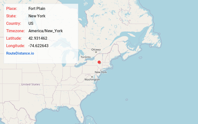
Full AddressFort Plain, NY
-
Coordinates42.9314616, -74.6226425
-
LocationFort Plain , New York , US
-
TimezoneAmerica/New_York
-
Current Local Time7:23:24 PM America/New_YorkMonday, May 19, 2025
-
Page Views0
About Fort Plain
Fort Plain is a village in Montgomery County, New York, United States. As of the 2020 census, the population was 1,930, down from 2,322 in 2010. The village is named after a fort built during the American Revolution at the junction of the Mohawk River and its tributary Otsquago Creek.


Nearby Places
Found 10 places within 50 miles

Palatine
3.0 mi
4.8 km
Palatine, NY
Get directions

Canajoharie
3.1 mi
5.0 km
Canajoharie, NY
Get directions

St Johnsville
5.5 mi
8.9 km
St Johnsville, NY 13452
Get directions

Manheim
12.7 mi
20.4 km
Manheim, NY
Get directions

Johnstown
13.9 mi
22.4 km
Johnstown, NY 12095
Get directions

Dolgeville
14.0 mi
22.5 km
Dolgeville, NY 13329
Get directions

Little Falls
14.3 mi
23.0 km
Little Falls, NY 13365
Get directions

Gloversville
16.4 mi
26.4 km
Gloversville, NY
Get directions

German Flatts
18.3 mi
29.5 km
German Flatts, NY
Get directions

Cobleskill
18.9 mi
30.4 km
Cobleskill, NY
Get directions
Location Links
Local Weather
Weather Information
Coming soon!
Location Map
Static map view of Fort Plain, New York
Browse Places by Distance
Places within specific distances from Fort Plain
Short Distances
Long Distances
Click any distance to see all places within that range from Fort Plain. Distances shown in miles (1 mile ≈ 1.61 kilometers).