Distance to Fort Popham State Historic Site, Maine

Calculating Your Route
Just a moment while we process your request...
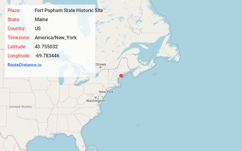
Location Information
-
Full AddressFort Popham State Historic Site, 219 Popham Rd, Phippsburg, ME 04562
-
Coordinates43.7550321, -69.7834455
-
Street219 Popham Rd
-
LocationPhippsburg , Maine , US
-
TimezoneAmerica/New_York
-
Current Local Time2:39:34 PM America/New_YorkTuesday, June 3, 2025
-
Page Views0
About Fort Popham State Historic Site
A 19th-century coastal military base with walks & wildlife-spotting around its defensive walls.


Nearby Places
Found 10 places within 50 miles

Phippsburg
4.2 mi
6.8 km
Phippsburg, ME
Get directions

Small Point
4.6 mi
7.4 km
Small Point, Phippsburg, ME 04562
Get directions

Georgetown
5.7 mi
9.2 km
Georgetown, ME
Get directions

Robinhood Cove
5.9 mi
9.5 km
Robinhood Cove, Georgetown, ME 04548
Get directions

Five Islands
6.1 mi
9.8 km
Five Islands, Georgetown, ME 04548
Get directions

Brighams Cove
6.5 mi
10.5 km
Brighams Cove, Maine
Get directions

Arrowsic
6.6 mi
10.6 km
Arrowsic, ME
Get directions

Southport
8.6 mi
13.8 km
Southport, ME
Get directions

Boothbay Harbor
10.2 mi
16.4 km
Boothbay Harbor, ME
Get directions

Harpswell
10.6 mi
17.1 km
Harpswell, ME
Get directions
Location Links
Local Weather
Weather Information
Coming soon!
Location Map
Static map view of Fort Popham State Historic Site, Maine
Browse Places by Distance
Places within specific distances from Fort Popham State Historic Site
Short Distances
Long Distances
Click any distance to see all places within that range from Fort Popham State Historic Site. Distances shown in miles (1 mile ≈ 1.61 kilometers).