Distance to Fort Scott, Kansas

Calculating Your Route
Just a moment while we process your request...
Location Information
-
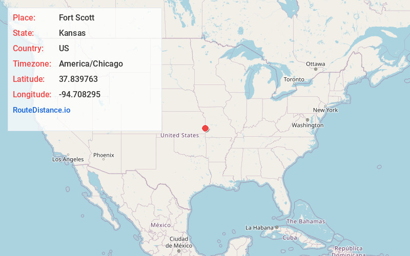
Full AddressFort Scott, KS 66701
-
Coordinates37.8397626, -94.7082951
-
LocationFort Scott , Kansas , US
-
TimezoneAmerica/Chicago
-
Current Local Time4:01:39 PM America/ChicagoWednesday, June 18, 2025
-
Website
-
Page Views0
About Fort Scott
Fort Scott is a city in and the county seat of Bourbon County, Kansas, United States. As of the 2020 census, the population of the city was 7,552. It is named for Gen. Winfield Scott. The city is located 88 miles south of Kansas City on the Marmaton River.


Nearby Places
Found 6 places within 50 miles

Nevada
19.3 mi
31.1 km
Nevada, MO 64772
Get directions

Pittsburg
29.6 mi
47.6 km
Pittsburg, KS 66762
Get directions

Chanute
42.4 mi
68.2 km
Chanute, KS 66720
Get directions

Parsons
45.9 mi
73.9 km
Parsons, KS
Get directions

Carl Junction
46.5 mi
74.8 km
Carl Junction, MO
Get directions

Webb City
49.8 mi
80.1 km
Webb City, MO
Get directions
Location Links
Local Weather
Weather Information
Coming soon!
Location Map
Static map view of Fort Scott, Kansas
Browse Places by Distance
Places within specific distances from Fort Scott
Short Distances
Long Distances
Click any distance to see all places within that range from Fort Scott. Distances shown in miles (1 mile ≈ 1.61 kilometers).