Distance to and from Fort Stewart, Georgia
Fort Stewart, GA
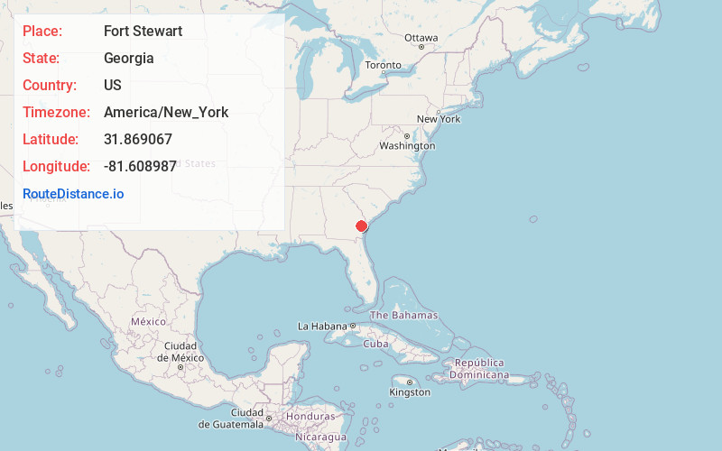
Fort Stewart
Georgia
US
America/New_York
Location Information
-
Full AddressFort Stewart, GA
-
Coordinates31.8690667, -81.6089873
-
LocationFort Stewart , Georgia , US
-
TimezoneAmerica/New_York
-
Current Local Time11:07:49 AM America/New_YorkSaturday, May 3, 2025
-
Page Views0
Directions to Nearest Cities
About Fort Stewart
Fort Stewart is a United States Army post in the U.S. state of Georgia. It lies primarily in Liberty and Bryan counties, but also extends into smaller portions of Evans, Long and Tattnall counties.


Nearby Places
Found 9 places within 50 miles

Hinesville
2.6 mi
4.2 km
Hinesville, GA 31313
Get directions

Richmond Hill
18.5 mi
29.8 km
Richmond Hill, GA
Get directions

Jesup
24.3 mi
39.1 km
Jesup, GA
Get directions

Pooler
27.2 mi
43.8 km
Pooler, GA
Get directions

Garden City
31.6 mi
50.9 km
Garden City, GA
Get directions

Port Wentworth
32.5 mi
52.3 km
Port Wentworth, GA
Get directions

Savannah
33.7 mi
54.2 km
Savannah, GA
Get directions

Rincon
36.7 mi
59.1 km
Rincon, GA 31326
Get directions

Statesboro
41.3 mi
66.5 km
Statesboro, GA
Get directions
Hinesville
2.6 mi
4.2 km
Hinesville, GA 31313
Richmond Hill
18.5 mi
29.8 km
Richmond Hill, GA
Jesup
24.3 mi
39.1 km
Jesup, GA
Pooler
27.2 mi
43.8 km
Pooler, GA
Garden City
31.6 mi
50.9 km
Garden City, GA
Port Wentworth
32.5 mi
52.3 km
Port Wentworth, GA
Savannah
33.7 mi
54.2 km
Savannah, GA
Rincon
36.7 mi
59.1 km
Rincon, GA 31326
Statesboro
41.3 mi
66.5 km
Statesboro, GA
Location Links
Local Weather
Weather Information
Coming soon!
Location Map
Static map view of Fort Stewart, Georgia
Browse Places by Distance
Places within specific distances from Fort Stewart
Short Distances
Long Distances
Click any distance to see all places within that range from Fort Stewart. Distances shown in miles (1 mile ≈ 1.61 kilometers).