Distance to Fort Stockton, Texas

Calculating Your Route
Just a moment while we process your request...
Location Information
-
Full AddressFort Stockton, TX 79735
-
Coordinates30.8940431, -102.8793222
-
LocationFort Stockton , Texas , US
-
TimezoneAmerica/Chicago
-
Current Local Time1:30:56 AM America/ChicagoWednesday, June 4, 2025
-
Page Views0
About Fort Stockton
Fort Stockton is a city in and the county seat of Pecos County, Texas, United States. It is located on Interstate 10, future Interstate 14, U.S. Highways 67, 285, and 385, and the Santa Fe Railroad, 329 mi northwest of San Antonio and 240 mi southeast of El Paso. Its population was 8,466 at the 2020 census.


Location Links
Local Weather
Weather Information
Coming soon!
Location Map
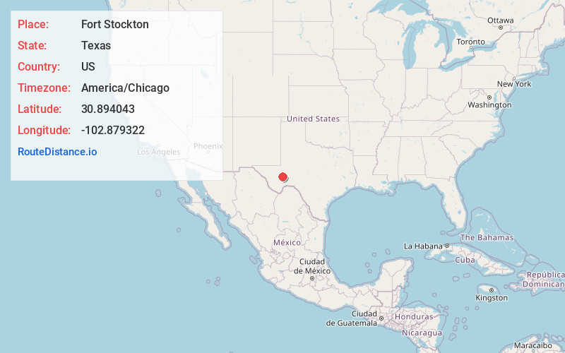
Static map view of Fort Stockton, Texas
Browse Places by Distance
Places within specific distances from Fort Stockton
Short Distances
Long Distances
Click any distance to see all places within that range from Fort Stockton. Distances shown in miles (1 mile ≈ 1.61 kilometers).