Distance to Fort Totten, North Dakota

Calculating Your Route
Just a moment while we process your request...
Location Information
-
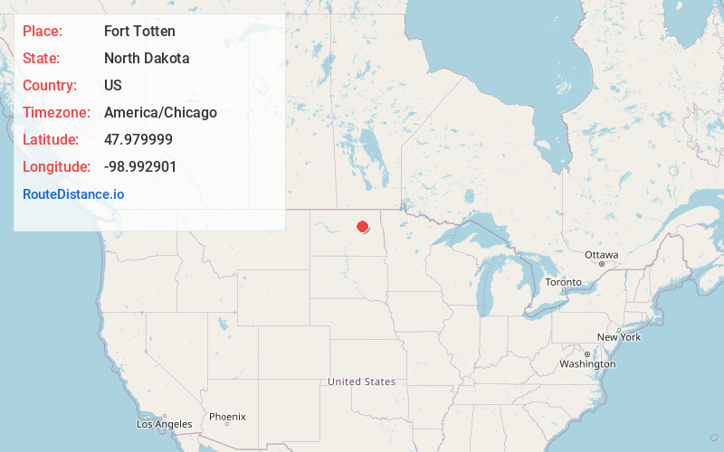
Full AddressFort Totten, ND
-
Coordinates47.9799986, -98.9929005
-
LocationFort Totten , North Dakota , US
-
TimezoneAmerica/Chicago
-
Current Local Time3:15:29 PM America/ChicagoThursday, July 3, 2025
-
Page Views0
About Fort Totten
Fort Totten is a census-designated place in Benson County, North Dakota, United States. The population was 1,243 at the 2010 census. Fort Totten is located within the Spirit Lake Reservation and is the site of tribal headquarters. The reservation has a total population estimated at 6,000.


Nearby Places
Found 5 places within 50 miles

Devils Lake
10.9 mi
17.5 km
Devils Lake, ND 58301
Get directions

New Rockford
21.8 mi
35.1 km
New Rockford, ND 58356
Get directions

Cando
36.4 mi
58.6 km
Cando, ND 58324
Get directions

Carrington
37.2 mi
59.9 km
Carrington, ND 58421
Get directions

Harvey
46.0 mi
74.0 km
Harvey, ND 58341
Get directions
Location Links
Local Weather
Weather Information
Coming soon!
Location Map
Static map view of Fort Totten, North Dakota
Browse Places by Distance
Places within specific distances from Fort Totten
Short Distances
Long Distances
Click any distance to see all places within that range from Fort Totten. Distances shown in miles (1 mile ≈ 1.61 kilometers).