Distance to Fort Williams Park, Maine

Calculating Your Route
Just a moment while we process your request...
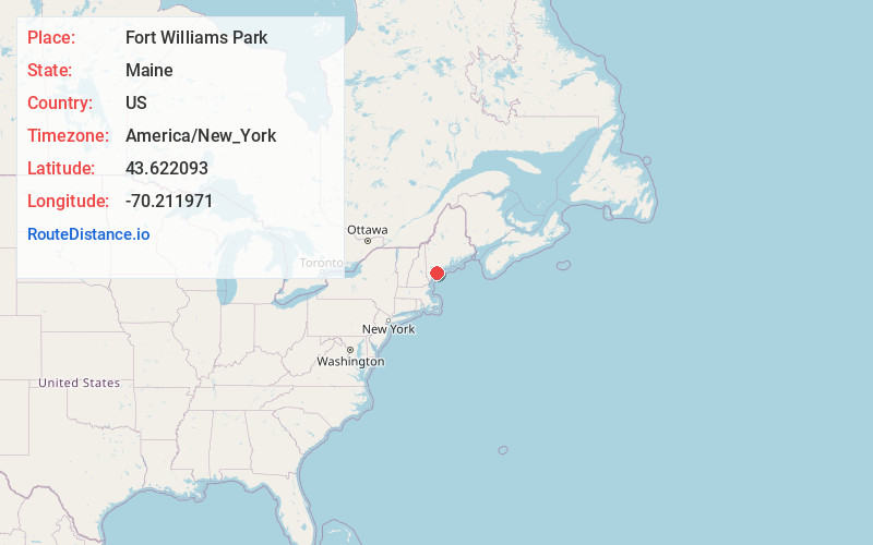
Location Information
-
Full AddressFort Williams Park, 1000 Shore Rd, Cape Elizabeth, ME 04107
-
Coordinates43.6220929, -70.2119708
-
Street1000 Shore Rd
-
LocationCape Elizabeth , Maine , US
-
TimezoneAmerica/New_York
-
Current Local Time11:24:12 PM America/New_YorkWednesday, May 28, 2025
-
Website
-
Page Views0
About Fort Williams Park
Free park with a rocky shoreline, old military bunkers, big playing fields & an iconic lighthouse.


Nearby Places
Found 10 places within 50 miles

Portland Head Light
0.2 mi
0.3 km
Portland Head Light, Cape Elizabeth, ME 04107
Get directions

South Portland
2.0 mi
3.2 km
South Portland, ME
Get directions

Cape Elizabeth
2.3 mi
3.7 km
Cape Elizabeth, ME
Get directions

Peaks Island
2.9 mi
4.7 km
Peaks Island, Portland, ME
Get directions

Fort Gorges
2.9 mi
4.7 km
Fort Gorges, Portland, ME 04101
Get directions

Dyer Cove
3.9 mi
6.3 km
Dyer Cove, Cape Elizabeth, ME 04107
Get directions

Portland
4.9 mi
7.9 km
Portland, ME
Get directions

Long Island
5.4 mi
8.7 km
Long Island, ME
Get directions

Scarborough
6.5 mi
10.5 km
Scarborough, ME
Get directions

Pine Point Beach
8.4 mi
13.5 km
Pine Point Beach, Scarborough, ME 04074
Get directions
Location Links
Local Weather
Weather Information
Coming soon!
Location Map
Static map view of Fort Williams Park, Maine
Browse Places by Distance
Places within specific distances from Fort Williams Park
Short Distances
Long Distances
Click any distance to see all places within that range from Fort Williams Park. Distances shown in miles (1 mile ≈ 1.61 kilometers).