Distance to Fostertown, New Jersey

Calculating Your Route
Just a moment while we process your request...
Location Information
-
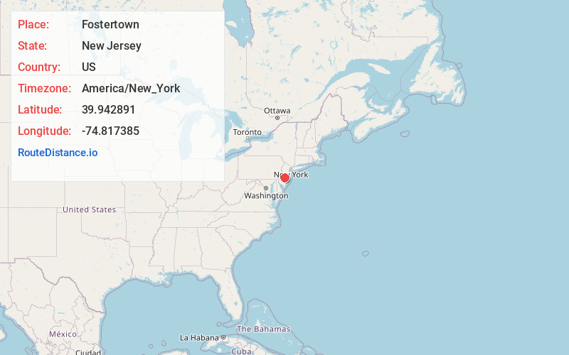
Full AddressFostertown, Lumberton Township, NJ 08048
-
Coordinates39.9428908, -74.8173852
-
LocationLumberton Township , New Jersey , US
-
TimezoneAmerica/New_York
-
Current Local Time11:39:47 PM America/New_YorkWednesday, June 25, 2025
-
Page Views0
About Fostertown
Fostertown is an unincorporated community located within Lumberton Township in Burlington County, in the U.S. state of New Jersey. The site was founded in 1735 by William Foster, who established a plantation on modern-day West Bella Bridge Road.
Nearby Places
Found 10 places within 50 miles

Lumberton Township
1.2 mi
1.9 km
Lumberton Township, NJ
Get directions

Eayrestown
1.5 mi
2.4 km
Eayrestown, Lumberton Township, NJ 08048
Get directions

Hainesport
2.9 mi
4.7 km
Hainesport, NJ
Get directions
Rancocas Heights
3.2 mi
5.1 km
Rancocas Heights, Hainesport, NJ 08036
Get directions
Clermont
3.4 mi
5.5 km
Clermont, Mt Holly, NJ 08060
Get directions

Mt Holly
3.9 mi
6.3 km
Mt Holly, NJ
Get directions

Southampton Township
4.0 mi
6.4 km
Southampton Township, NJ 08088
Get directions
Hoot Owl Estates
4.4 mi
7.1 km
Hoot Owl Estates, Medford, NJ 08055
Get directions
Bougher
4.8 mi
7.7 km
Bougher, Mt Laurel Township, NJ 08054
Get directions
Scratch Ridge
4.8 mi
7.7 km
Scratch Ridge, Southampton Township, NJ 08088
Get directions
Location Links
Local Weather
Weather Information
Coming soon!
Location Map
Static map view of Fostertown, New Jersey
Browse Places by Distance
Places within specific distances from Fostertown
Short Distances
Long Distances
Click any distance to see all places within that range from Fostertown. Distances shown in miles (1 mile ≈ 1.61 kilometers).