Distance to Foul Rift, New Jersey

Calculating Your Route
Just a moment while we process your request...
Location Information
-
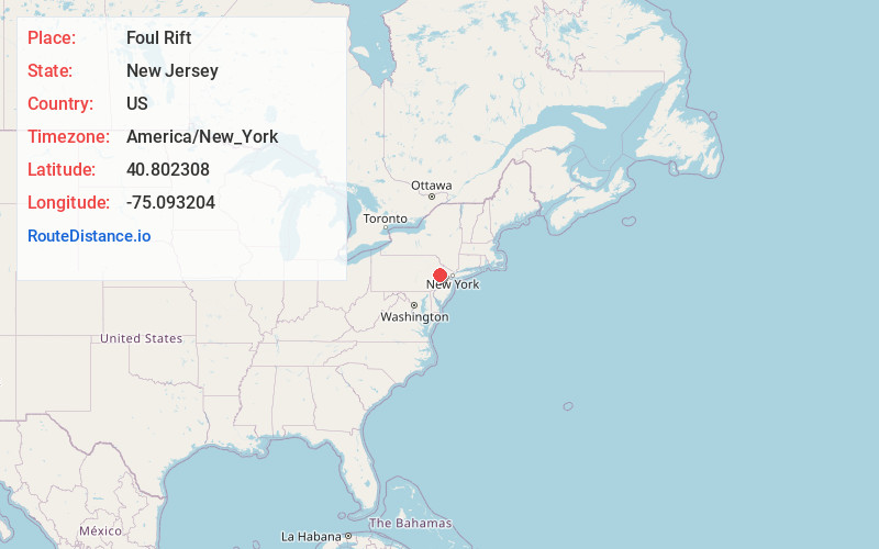
Full AddressFoul Rift, White, NJ 07823
-
Coordinates40.8023083, -75.0932036
-
NeighborhoodFoul Rift
-
LocationWhite , New Jersey , US
-
TimezoneAmerica/New_York
-
Current Local Time10:53:31 AM America/New_YorkWednesday, June 18, 2025
-
Page Views0
About Foul Rift
Foul Rift is an unincorporated community and one-time ghost town located within White Township, in Warren County, in the U.S. state of New Jersey. Foul Rift had been a cottage community located on the east bank of the Delaware River, 2 mi south of Belvidere.
Nearby Places
Found 10 places within 50 miles

Lommasons Glen
0.8 mi
1.3 km
Lommasons Glen, White, NJ 07823
Get directions

Belvidere
2.1 mi
3.4 km
Belvidere, NJ 07823
Get directions
Hazen
2.8 mi
4.5 km
Hazen, White, NJ 07823
Get directions
Cornish
3.1 mi
5.0 km
Cornish, White, NJ 07823
Get directions
Gruvertown
3.3 mi
5.3 km
Gruvertown, PA 18013
Get directions

Lower Mt Bethel Township
3.8 mi
6.1 km
Lower Mt Bethel Township, PA
Get directions
White
4.2 mi
6.8 km
White, NJ
Get directions

Harmony
4.9 mi
7.9 km
Harmony, NJ
Get directions
Sarepta
5.0 mi
8.0 km
Sarepta, White, NJ 07823
Get directions
Martins Creek
5.0 mi
8.0 km
Martins Creek, PA
Get directions
Location Links
Local Weather
Weather Information
Coming soon!
Location Map
Static map view of Foul Rift, New Jersey
Browse Places by Distance
Places within specific distances from Foul Rift
Short Distances
Long Distances
Click any distance to see all places within that range from Foul Rift. Distances shown in miles (1 mile ≈ 1.61 kilometers).