Distance to Fountain Springs, California

Calculating Your Route
Just a moment while we process your request...
Location Information
-
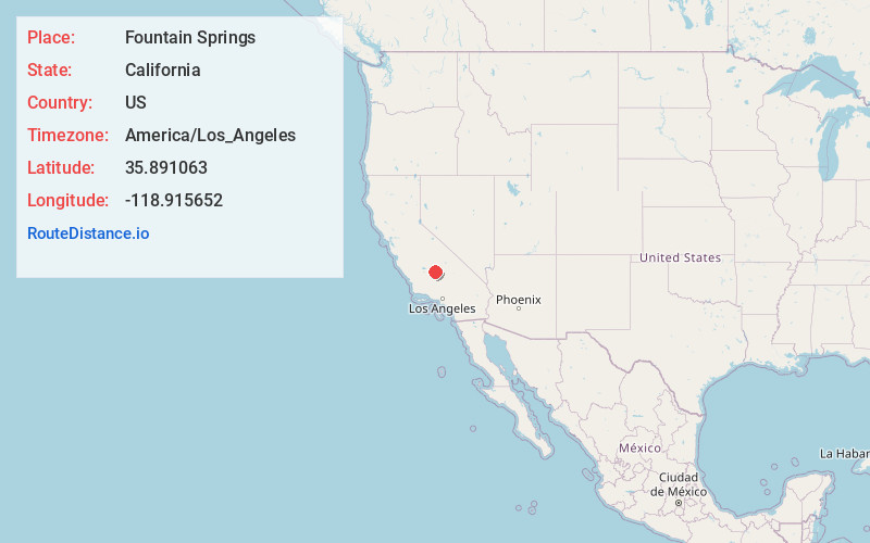
Full AddressFountain Springs, CA 93257
-
Coordinates35.891063, -118.9156518
-
LocationCalifornia , US
-
TimezoneAmerica/Los_Angeles
-
Current Local Time9:18:57 AM America/Los_AngelesFriday, May 30, 2025
-
Page Views0
About Fountain Springs
Fountain Springs was a settlement established in Tulare County, California, before 1855, at the junction of the Stockton–Los Angeles Road and the road to the Kern River gold mines.


Nearby Places
Found 10 places within 50 miles

Ultra
6.9 mi
11.1 km
Ultra, CA 93270
Get directions

Ducor
7.4 mi
11.9 km
Ducor, CA 93218
Get directions
Deer Creek Colony
7.7 mi
12.4 km
Deer Creek Colony, CA 93270
Get directions
Orris
8.5 mi
13.7 km
Orris, CA 93218
Get directions

Terra Bella
8.7 mi
14.0 km
Terra Bella, CA 93270
Get directions
Elmco
10.0 mi
16.1 km
Elmco, CA 93257
Get directions
Vestal
10.1 mi
16.3 km
Vestal, CA 93215
Get directions
Magnolia
10.1 mi
16.3 km
Magnolia, CA 93257
Get directions
Lois
10.8 mi
17.4 km
Lois, CA 93257
Get directions
Lumer
11.0 mi
17.7 km
Lumer, CA 93257
Get directions
Location Links
Local Weather
Weather Information
Coming soon!
Location Map
Static map view of Fountain Springs, California
Browse Places by Distance
Places within specific distances from Fountain Springs
Short Distances
Long Distances
Click any distance to see all places within that range from Fountain Springs. Distances shown in miles (1 mile ≈ 1.61 kilometers).