Distance to Fouts Springs, California

Calculating Your Route
Just a moment while we process your request...
Location Information
-
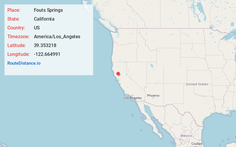
Full AddressFouts Springs, CA 95979
-
Coordinates39.3532176, -122.6649908
-
LocationFouts Springs , California , US
-
TimezoneAmerica/Los_Angeles
-
Current Local Time12:15:39 PM America/Los_AngelesTuesday, June 24, 2025
-
Page Views0
About Fouts Springs
Fouts Springs is a set of springs that became a resort in the 19th century in Colusa County, California.
It lies at an elevation of 1713 feet. It is best known for being the headquarters of the New Tribes Mission.

Nearby Places
Found 10 places within 50 miles

Stonyford
6.6 mi
10.6 km
Stonyford, CA 95979
Get directions

Lodoga
9.6 mi
15.4 km
Lodoga, CA
Get directions

Upper Lake
18.5 mi
29.8 km
Upper Lake, CA 95485
Get directions

Elk Creek
18.6 mi
29.9 km
Elk Creek, CA 95939
Get directions

Nice
18.7 mi
30.1 km
Nice, CA
Get directions

Pine Mountain Lookout
19.0 mi
30.6 km
Pine Mountain Lookout, California 95469
Get directions

Spring Valley
19.5 mi
31.4 km
Spring Valley, CA 95423
Get directions

Lucerne
19.5 mi
31.4 km
Lucerne, CA 95458
Get directions

Glenhaven
22.8 mi
36.7 km
Glenhaven, CA 95443
Get directions

North Lakeport
23.0 mi
37.0 km
North Lakeport, CA 95453
Get directions
Location Links
Local Weather
Weather Information
Coming soon!
Location Map
Static map view of Fouts Springs, California
Browse Places by Distance
Places within specific distances from Fouts Springs
Short Distances
Long Distances
Click any distance to see all places within that range from Fouts Springs. Distances shown in miles (1 mile ≈ 1.61 kilometers).