Distance to Fowler, Arkansas

Calculating Your Route
Just a moment while we process your request...
Location Information
-
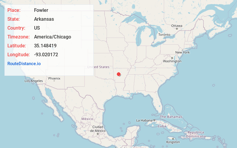
Full AddressFowler, AR 72834
-
Coordinates35.1484191, -93.0201722
-
LocationArkansas , US
-
TimezoneAmerica/Chicago
-
Current Local Time4:02:55 PM America/ChicagoFriday, June 20, 2025
-
Page Views0
Nearby Places
Found 10 places within 50 miles

Carden Bottoms
0.4 mi
0.6 km
Carden Bottoms, AR 72823
Get directions
Cotton Town
3.1 mi
5.0 km
Cotton Town, AR 72823
Get directions
New Neely
4.1 mi
6.6 km
New Neely, AR 72823
Get directions
Old Neely
4.2 mi
6.8 km
Old Neely, AR 72834
Get directions
Worthen
6.6 mi
10.6 km
Worthen, AR 72823
Get directions

Pottsville
7.4 mi
11.9 km
Pottsville, AR
Get directions

Atkins
8.0 mi
12.9 km
Atkins, AR
Get directions
Homewood
8.5 mi
13.7 km
Homewood, AR 72025
Get directions
Bethel
8.6 mi
13.8 km
Bethel, AR 72802
Get directions
Centerville
8.8 mi
14.2 km
Centerville, AR 72834
Get directions
Location Links
Local Weather
Weather Information
Coming soon!
Location Map
Static map view of Fowler, Arkansas
Browse Places by Distance
Places within specific distances from Fowler
Short Distances
Long Distances
Click any distance to see all places within that range from Fowler. Distances shown in miles (1 mile ≈ 1.61 kilometers).