Distance to Fowler, Ohio

Calculating Your Route
Just a moment while we process your request...
Location Information
-
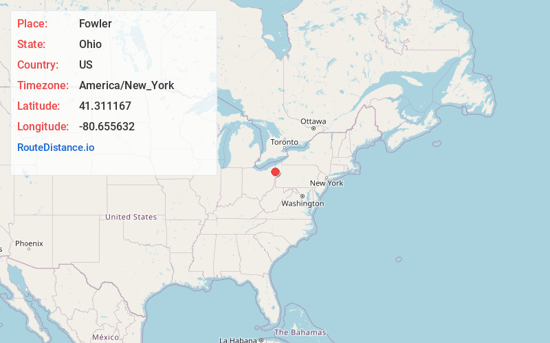
Full AddressFowler, OH 44410
-
Coordinates41.3111672, -80.6556322
-
LocationFowler , Ohio , US
-
TimezoneAmerica/New_York
-
Current Local Time7:06:29 PM America/New_YorkWednesday, June 18, 2025
-
Page Views0
About Fowler
Fowler is an unincorporated community in central Fowler Township, Trumbull County, Ohio, United States. It has a post office with the ZIP code 44418. It lies at the intersection of State Routes 193 and 305.
The community is part of the Youngstown–Warren–Boardman, OH-PA Metropolitan Statistical Area.

Nearby Places
Found 10 places within 50 miles

Cortland
3.9 mi
6.3 km
Cortland, OH 44410
Get directions

Yankee Lake
5.5 mi
8.9 km
Yankee Lake, OH
Get directions

Howland Center
6.2 mi
10.0 km
Howland Center, OH 44484
Get directions

Orangeville
6.9 mi
11.1 km
Orangeville, OH
Get directions
Brookfield Center
7.0 mi
11.3 km
Brookfield Center, OH
Get directions

South Pymatuning Township
8.7 mi
14.0 km
South Pymatuning Township, PA
Get directions
West Hill
8.9 mi
14.3 km
West Hill, OH 44438
Get directions

Masury
9.2 mi
14.8 km
Masury, OH
Get directions
McKinley Heights
9.3 mi
15.0 km
McKinley Heights, OH
Get directions
Bolindale
9.6 mi
15.4 km
Bolindale, OH 44484
Get directions
Location Links
Local Weather
Weather Information
Coming soon!
Location Map
Static map view of Fowler, Ohio
Browse Places by Distance
Places within specific distances from Fowler
Short Distances
Long Distances
Click any distance to see all places within that range from Fowler. Distances shown in miles (1 mile ≈ 1.61 kilometers).