Distance to Foxfield, Colorado

Calculating Your Route
Just a moment while we process your request...
Location Information
-
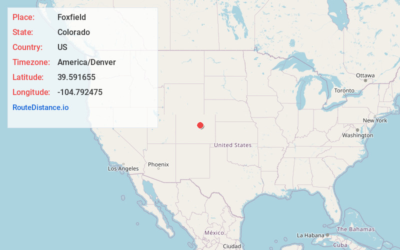
Full AddressFoxfield, CO 80016
-
Coordinates39.5916552, -104.7924749
-
LocationFoxfield , Colorado , US
-
TimezoneAmerica/Denver
-
Current Local Time1:05:14 PM America/DenverFriday, June 20, 2025
-
Website
-
Page Views0
About Foxfield
The Town of Foxfield is a statutory town located in Arapahoe County, Colorado, United States. The town population was 754 at the 2020 United States census. Foxfield is a part of the Denver–Aurora–Lakewood, CO Metropolitan Statistical Area and the Front Range Urban Corridor.


Nearby Places
Found 10 places within 50 miles

Dove Valley
2.3 mi
3.7 km
Dove Valley, CO
Get directions
Meridian
4.0 mi
6.4 km
Meridian, CO
Get directions
Inverness
4.1 mi
6.6 km
Inverness, CO 80112
Get directions
Stonegate
4.3 mi
6.9 km
Stonegate, CO 80134
Get directions

Centennial
4.6 mi
7.4 km
Centennial, CO
Get directions

Parker
5.3 mi
8.5 km
Parker, CO
Get directions

Lone Tree
6.3 mi
10.1 km
Lone Tree, CO
Get directions

Greenwood Village
8.6 mi
13.8 km
Greenwood Village, CO
Get directions

Aurora
9.7 mi
15.6 km
Aurora, CO
Get directions

The Pinery
9.9 mi
15.9 km
The Pinery, CO 80134
Get directions
Location Links
Local Weather
Weather Information
Coming soon!
Location Map
Static map view of Foxfield, Colorado
Browse Places by Distance
Places within specific distances from Foxfield
Short Distances
Long Distances
Click any distance to see all places within that range from Foxfield. Distances shown in miles (1 mile ≈ 1.61 kilometers).