Distance to Foxfire, North Carolina

Calculating Your Route
Just a moment while we process your request...
Location Information
-
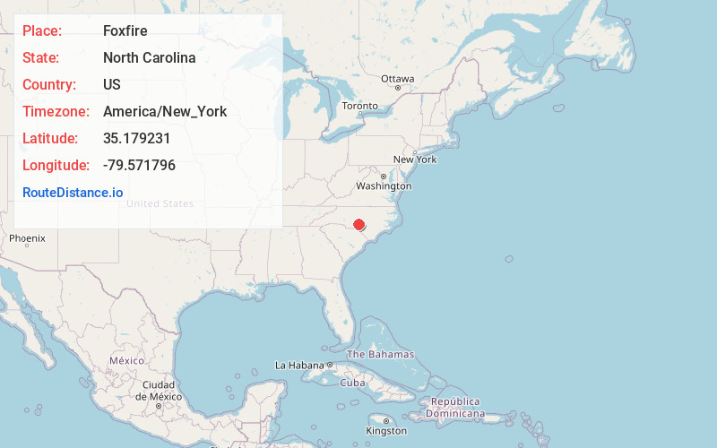
Full AddressFoxfire, NC
-
Coordinates35.1792307, -79.5717955
-
LocationFoxfire , North Carolina , US
-
TimezoneAmerica/New_York
-
Current Local Time12:54:15 PM America/New_YorkThursday, June 19, 2025
-
Page Views0
About Foxfire
Foxfire, officially Foxfire Village, is a village in Moore County, North Carolina, United States. The population was 1,288 at the 2020 census, up from 902 in 2010.
Nearby Places
Found 10 places within 50 miles

Pinehurst
5.9 mi
9.5 km
Pinehurst, NC
Get directions

Seven Lakes
6.9 mi
11.1 km
Seven Lakes, NC
Get directions

Pinebluff
7.4 mi
11.9 km
Pinebluff, NC
Get directions

Aberdeen
8.7 mi
14.0 km
Aberdeen, NC
Get directions

Southern Pines
10.1 mi
16.3 km
Southern Pines, NC
Get directions

Carthage
14.5 mi
23.3 km
Carthage, NC
Get directions

Biscoe
17.1 mi
27.5 km
Biscoe, NC 27209
Get directions

Rockingham
20.1 mi
32.3 km
Rockingham, NC 28379
Get directions
East Rockingham
21.5 mi
34.6 km
East Rockingham, NC 28379
Get directions

Hamlet
21.5 mi
34.6 km
Hamlet, NC 28345
Get directions
Location Links
Local Weather
Weather Information
Coming soon!
Location Map
Static map view of Foxfire, North Carolina
Browse Places by Distance
Places within specific distances from Foxfire
Short Distances
Long Distances
Click any distance to see all places within that range from Foxfire. Distances shown in miles (1 mile ≈ 1.61 kilometers).