Distance to Frances, Kentucky

Calculating Your Route
Just a moment while we process your request...
Location Information
-
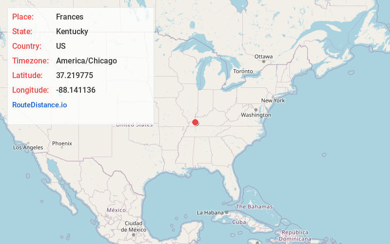
Full AddressFrances, KY 42064
-
Coordinates37.219775, -88.1411361
-
LocationFrances , Kentucky , US
-
TimezoneAmerica/Chicago
-
Current Local Time4:50:30 AM America/ChicagoSunday, June 22, 2025
-
Page Views0
About Frances
Frances is an unincorporated community within Crittenden County, Kentucky, United States. It has an elevation of 548 feet. Frances was also called Needmore.

Nearby Places
Found 10 places within 50 miles

Mexico
2.5 mi
4.0 km
Mexico, KY 42064
Get directions
View
3.0 mi
4.8 km
View, KY 42064
Get directions

Fredonia
4.7 mi
7.6 km
Fredonia, KY 42411
Get directions
Crayne
4.8 mi
7.7 km
Crayne, KY
Get directions
Dycusburg
4.8 mi
7.7 km
Dycusburg, KY
Get directions
New Salem
5.3 mi
8.5 km
New Salem, KY 42064
Get directions
Pinckneyville
5.9 mi
9.5 km
Pinckneyville, KY 42078
Get directions

Salem
6.5 mi
10.5 km
Salem, KY 42078
Get directions
Levias
6.5 mi
10.5 km
Levias, KY 42064
Get directions
Tiline
6.6 mi
10.6 km
Tiline, KY 42083
Get directions
Location Links
Local Weather
Weather Information
Coming soon!
Location Map
Static map view of Frances, Kentucky
Browse Places by Distance
Places within specific distances from Frances
Short Distances
Long Distances
Click any distance to see all places within that range from Frances. Distances shown in miles (1 mile ≈ 1.61 kilometers).