Distance to Franklin Mine, Michigan

Calculating Your Route
Just a moment while we process your request...
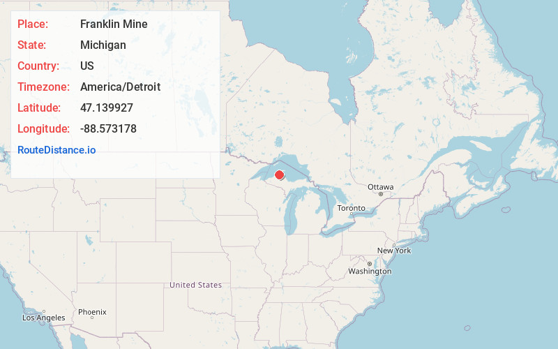
Location Information
-
Full AddressFranklin Mine, MI 49930
-
Coordinates47.1399269, -88.5731781
-
LocationFranklin Mine , Michigan , US
-
TimezoneAmerica/Detroit
-
Current Local Time11:20:44 AM America/DetroitTuesday, June 24, 2025
-
Page Views0
About Franklin Mine
Franklin Mine is a small unincorporated community in Houghton County, Michigan, United States. The area is on Quincy Hill, northeast of Hancock, and lying partially within Quincy Township and partially within Franklin Township.
Franklin Mine is located at 47°08′24″N 88°34′24″W and is named after the eponymous mine.
Nearby Places
Found 10 places within 50 miles

Hancock
1.0 mi
1.6 km
Hancock, MI 49930
Get directions

Lewer Pewabic
1.0 mi
1.6 km
Lewer Pewabic, MI 49930
Get directions

Houghton
1.3 mi
2.1 km
Houghton, MI
Get directions
Paavola
1.5 mi
2.4 km
Paavola, MI 49930
Get directions
Hurontown
2.0 mi
3.2 km
Hurontown, MI 49931
Get directions
Dodgeville
3.3 mi
5.3 km
Dodgeville, MI
Get directions

Dollar Bay
3.6 mi
5.8 km
Dollar Bay, MI
Get directions
Oskar
4.3 mi
6.9 km
Oskar, MI 49931
Get directions

Baltic
5.8 mi
9.3 km
Baltic, MI 49905
Get directions

South Range
5.9 mi
9.5 km
South Range, MI
Get directions
Location Links
Local Weather
Weather Information
Coming soon!
Location Map
Static map view of Franklin Mine, Michigan
Browse Places by Distance
Places within specific distances from Franklin Mine
Short Distances
Long Distances
Click any distance to see all places within that range from Franklin Mine. Distances shown in miles (1 mile ≈ 1.61 kilometers).