Distance to Fredonia, Kansas

Calculating Your Route
Just a moment while we process your request...
Location Information
-
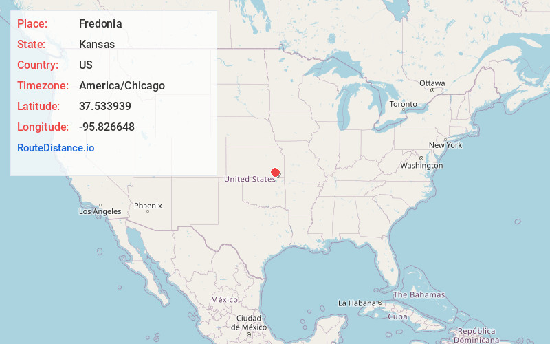
Full AddressFredonia, KS 66736
-
Coordinates37.5339386, -95.8266483
-
LocationFredonia , Kansas , US
-
TimezoneAmerica/Chicago
-
Current Local Time3:10:38 PM America/ChicagoSunday, June 22, 2025
-
Website
-
Page Views0
About Fredonia
Fredonia is a city in and the county seat of Wilson County, Kansas, United States. As of the 2020 census, the population of the city was 2,151. The city was founded in 1868, and saw considerable expansion in the early 20th century, with a fossil fuel boom.


Nearby Places
Found 8 places within 50 miles

Neodesha
11.3 mi
18.2 km
Neodesha, KS 66757
Get directions

Independence
22.4 mi
36.0 km
Independence, KS 67301
Get directions

Chanute
22.6 mi
36.4 km
Chanute, KS 66720
Get directions

Eureka
32.3 mi
52.0 km
Eureka, KS 67045
Get directions

Parsons
33.8 mi
54.4 km
Parsons, KS
Get directions

Iola
35.7 mi
57.5 km
Iola, KS 66749
Get directions

Coffeyville
36.2 mi
58.3 km
Coffeyville, KS
Get directions

Burlington
45.9 mi
73.9 km
Burlington, KS 66839
Get directions
Location Links
Local Weather
Weather Information
Coming soon!
Location Map
Static map view of Fredonia, Kansas
Browse Places by Distance
Places within specific distances from Fredonia
Short Distances
Long Distances
Click any distance to see all places within that range from Fredonia. Distances shown in miles (1 mile ≈ 1.61 kilometers).