Distance to Free Hope, Arkansas

Calculating Your Route
Just a moment while we process your request...
Location Information
-
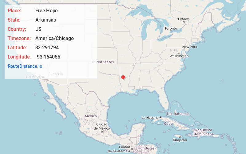
Full AddressFree Hope, AR 71753
-
Coordinates33.2917937, -93.1640554
-
LocationArkansas , US
-
TimezoneAmerica/Chicago
-
Current Local Time11:34:27 AM America/ChicagoFriday, June 13, 2025
-
Page Views0
Nearby Places
Found 10 places within 50 miles

Magnolia
4.7 mi
7.6 km
Magnolia, AR 71753
Get directions

McNeil
4.9 mi
7.9 km
McNeil, AR 71752
Get directions
College Hill
8.2 mi
13.2 km
College Hill, AR 71752
Get directions

Waldo
8.8 mi
14.2 km
Waldo, AR 71770
Get directions
Medlock
9.0 mi
14.5 km
Medlock, AR 71764
Get directions
Stephens
9.9 mi
15.9 km
Stephens, AR 71764
Get directions
Noxobe
10.7 mi
17.2 km
Noxobe, AR 71740
Get directions
Spotville
10.8 mi
17.4 km
Spotville, AR 71753
Get directions
Dodson
11.1 mi
17.9 km
Dodson, AR 71753
Get directions
Mt Holly
11.9 mi
19.2 km
Mt Holly, AR
Get directions
Location Links
Local Weather
Weather Information
Coming soon!
Location Map
Static map view of Free Hope, Arkansas
Browse Places by Distance
Places within specific distances from Free Hope
Short Distances
Long Distances
Click any distance to see all places within that range from Free Hope. Distances shown in miles (1 mile ≈ 1.61 kilometers).