Distance to Freedom, Indiana

Calculating Your Route
Just a moment while we process your request...
Location Information
-
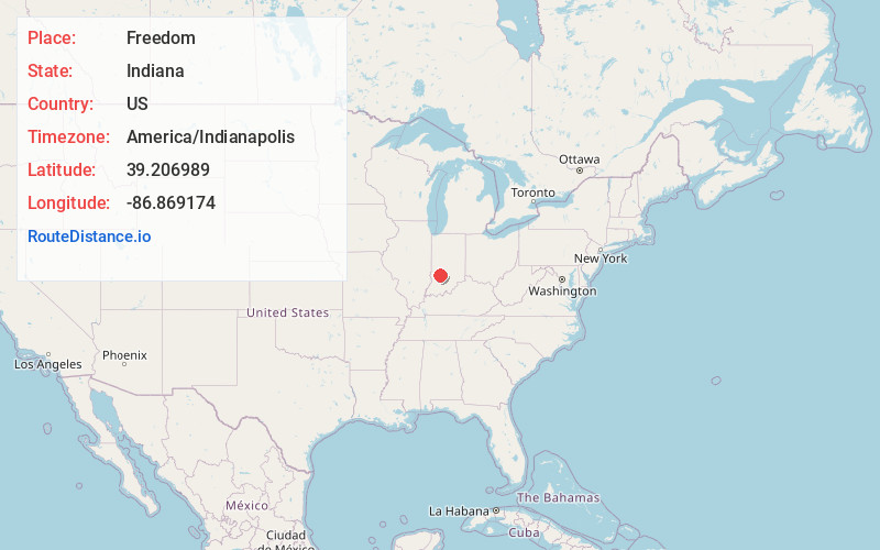
Full AddressFreedom, IN 47431
-
Coordinates39.2069886, -86.869174
-
LocationFreedom , Indiana , US
-
TimezoneAmerica/Indianapolis
-
Page Views0
About Freedom
Freedom is an unincorporated community in western Franklin Township, Owen County, in the U.S. state of Indiana. It lies along U.S. Route 231, southwest of the city of Spencer, the county seat of Owen County.


Nearby Places
Found 10 places within 50 miles

New Hope
2.8 mi
4.5 km
New Hope, IN 47460
Get directions
Vilas
3.0 mi
4.8 km
Vilas, IN 47460
Get directions
Arney
3.4 mi
5.5 km
Arney, IN 47431
Get directions
Newark
6.3 mi
10.1 km
Newark, IN 47424
Get directions
McVille
7.9 mi
12.7 km
McVille, Beech Creek Township, IN 47459
Get directions

Spencer
7.9 mi
12.7 km
Spencer, IN 47460
Get directions

Worthington
8.2 mi
13.2 km
Worthington, IN 47471
Get directions
Tulip
8.7 mi
14.0 km
Tulip, IN 47424
Get directions
Patricksburg
8.9 mi
14.3 km
Patricksburg, IN
Get directions

Coal City
9.6 mi
15.4 km
Coal City, IN 47427
Get directions
Location Links
Local Weather
Weather Information
Coming soon!
Location Map
Static map view of Freedom, Indiana
Browse Places by Distance
Places within specific distances from Freedom
Short Distances
Long Distances
Click any distance to see all places within that range from Freedom. Distances shown in miles (1 mile ≈ 1.61 kilometers).