Distance to Friars Point, Mississippi

Calculating Your Route
Just a moment while we process your request...
Location Information
-
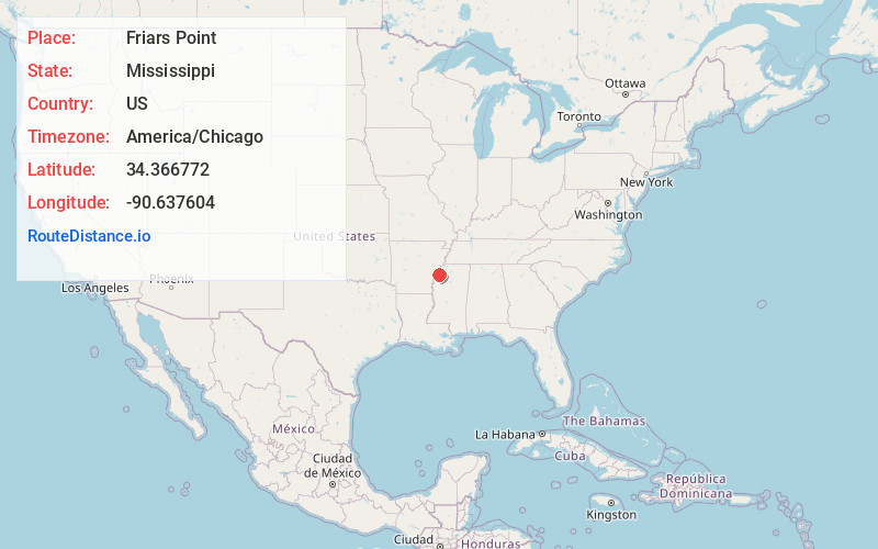
Full AddressFriars Point, MS 38631
-
Coordinates34.3667717, -90.6376041
-
LocationFriars Point , Mississippi , US
-
TimezoneAmerica/Chicago
-
Current Local Time4:08:44 PM America/ChicagoFriday, June 20, 2025
-
Page Views0
About Friars Point
Friars Point is a town in Coahoma County, Mississippi, United States. Per the 2020 census, the population was 896. Situated on the Mississippi River, Friars Point was once a busy port town, and remains the only place in Coahoma County with public access to the river's shore.
Nearby Places
Found 10 places within 50 miles

Helena-West Helena
11.5 mi
18.5 km
Helena-West Helena, AR
Get directions

Clarksdale
12.1 mi
19.5 km
Clarksdale, MS
Get directions

Marvell
20.4 mi
32.8 km
Marvell, AR 72366
Get directions

Marks
22.2 mi
35.7 km
Marks, MS 38646
Get directions
Lambert
23.2 mi
37.3 km
Lambert, MS
Get directions

Tutwiler
27.0 mi
43.5 km
Tutwiler, MS 38963
Get directions

Marianna
29.2 mi
47.0 km
Marianna, AR 72360
Get directions

Shelby
29.7 mi
47.8 km
Shelby, MS 38774
Get directions
Mound Bayou
34.1 mi
54.9 km
Mound Bayou, MS 38762
Get directions

Tunica Resorts
36.1 mi
58.1 km
Tunica Resorts, MS 38664
Get directions
Location Links
Local Weather
Weather Information
Coming soon!
Location Map
Static map view of Friars Point, Mississippi
Browse Places by Distance
Places within specific distances from Friars Point
Short Distances
Long Distances
Click any distance to see all places within that range from Friars Point. Distances shown in miles (1 mile ≈ 1.61 kilometers).