Distance to Fricks Lock, Pennsylvania

Calculating Your Route
Just a moment while we process your request...
Location Information
-
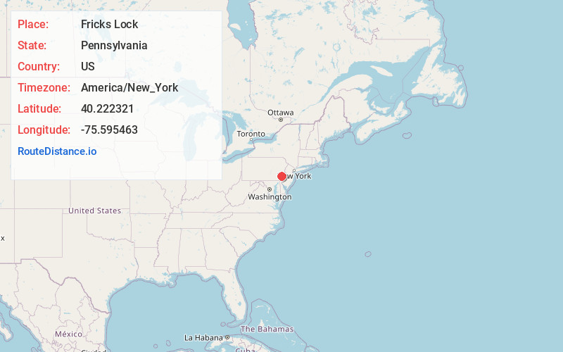
Full AddressFricks Lock, East Coventry Township, PA 19465
-
Coordinates40.2223212, -75.595463
-
LocationEast Coventry Township , Pennsylvania , US
-
TimezoneAmerica/New_York
-
Current Local Time6:43:26 PM America/New_YorkFriday, June 20, 2025
-
Page Views0
About Fricks Lock
Fricks Locks Historic District or more simply Frick's Lock is an abandoned village, along the also abandoned Schuylkill Canal, in the northeast portion of East Coventry Township, Chester County, Pennsylvania.


Nearby Places
Found 10 places within 50 miles

East Coventry Township
1.3 mi
2.1 km
East Coventry Township, PA
Get directions

Sanatoga
1.6 mi
2.6 km
Sanatoga, PA 19464
Get directions

Linfield
1.6 mi
2.6 km
Linfield, PA 19468
Get directions
Parker Ford
1.7 mi
2.7 km
Parker Ford, PA 19475
Get directions
Lower Pottsgrove Township
2.1 mi
3.4 km
Lower Pottsgrove Township, PA
Get directions
Kenilworth
2.1 mi
3.4 km
Kenilworth, PA 19465
Get directions
Barlow Heights
2.8 mi
4.5 km
Barlow Heights, Limerick Township, PA 19468
Get directions
Pottsgrove
3.1 mi
5.0 km
Pottsgrove, PA 19464
Get directions
South Pottstown
3.2 mi
5.1 km
South Pottstown, PA
Get directions

Pottstown
3.3 mi
5.3 km
Pottstown, PA 19464
Get directions
Location Links
Local Weather
Weather Information
Coming soon!
Location Map
Static map view of Fricks Lock, Pennsylvania
Browse Places by Distance
Places within specific distances from Fricks Lock
Short Distances
Long Distances
Click any distance to see all places within that range from Fricks Lock. Distances shown in miles (1 mile ≈ 1.61 kilometers).