Distance to Frierson, Louisiana

Calculating Your Route
Just a moment while we process your request...
Location Information
-
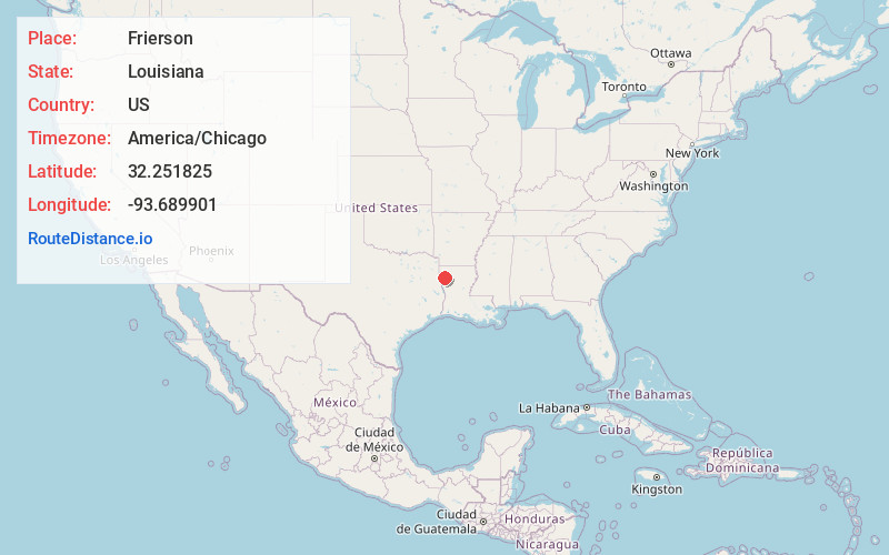
Full AddressFrierson, LA 71027
-
Coordinates32.2518252, -93.6899007
-
LocationFrierson , Louisiana , US
-
TimezoneAmerica/Chicago
-
Current Local Time4:06:59 PM America/ChicagoSaturday, May 31, 2025
-
Page Views0
About Frierson
Frierson is an unincorporated community and census-designated place in DeSoto Parish, Louisiana, United States. It is located approximately 3 miles north of Interstate 49 along Louisiana State Highway 175.
As of the 2010 census, the population was 143.

Nearby Places
Found 10 places within 50 miles

Stonewall
8.1 mi
13.0 km
Stonewall, LA 71078
Get directions

Gloster
8.4 mi
13.5 km
Gloster, LA 71030
Get directions

Keachi
13.4 mi
21.6 km
Keachi, LA 71046
Get directions

Grand Cane
13.6 mi
21.9 km
Grand Cane, LA 71032
Get directions

Mansfield
14.8 mi
23.8 km
Mansfield, LA 71052
Get directions
South Mansfield
16.4 mi
26.4 km
South Mansfield, LA 71052
Get directions

Shreveport
18.4 mi
29.6 km
Shreveport, LA
Get directions

Bossier City
18.4 mi
29.6 km
Bossier City, LA
Get directions

Longstreet
18.7 mi
30.1 km
Longstreet, LA
Get directions

Greenwood
21.2 mi
34.1 km
Greenwood, LA
Get directions
Location Links
Local Weather
Weather Information
Coming soon!
Location Map
Static map view of Frierson, Louisiana
Browse Places by Distance
Places within specific distances from Frierson
Short Distances
Long Distances
Click any distance to see all places within that range from Frierson. Distances shown in miles (1 mile ≈ 1.61 kilometers).