Distance to Frisco, Utah

Calculating Your Route
Just a moment while we process your request...
Location Information
-
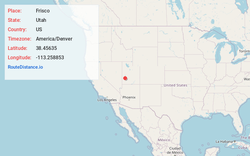
Full AddressFrisco, UT
-
Coordinates38.45635, -113.2588528
-
LocationFrisco , Utah , US
-
TimezoneAmerica/Denver
-
Current Local Time10:27:18 PM America/DenverWednesday, June 4, 2025
-
Page Views0
About Frisco
Frisco is a ghost town in Beaver County, Utah, United States. It was an active mining camp from 1879 to 1929.
At its peak in 1885, Frisco was a thriving town of 6,000 people.


Nearby Places
Found 10 places within 50 miles

Newhouse
4.8 mi
7.7 km
Newhouse, UT 84751
Get directions
Blueacre
7.2 mi
11.6 km
Blueacre, UT
Get directions
Shauntie
9.4 mi
15.1 km
Shauntie, UT
Get directions
Shenendoah City
9.8 mi
15.8 km
Shenendoah City, UT
Get directions

Milford
14.0 mi
22.5 km
Milford, UT 84751
Get directions
Yellow Banks
14.8 mi
23.8 km
Yellow Banks, UT 84751
Get directions
Murdock
15.2 mi
24.5 km
Murdock, UT
Get directions
Laho
15.3 mi
24.6 km
Laho, UT
Get directions
Read
16.8 mi
27.0 km
Read, UT
Get directions
Thermo
17.4 mi
28.0 km
Thermo, UT
Get directions
Location Links
Local Weather
Weather Information
Coming soon!
Location Map
Static map view of Frisco, Utah
Browse Places by Distance
Places within specific distances from Frisco
Short Distances
Long Distances
Click any distance to see all places within that range from Frisco. Distances shown in miles (1 mile ≈ 1.61 kilometers).